Paiçandu night lights from space
Night Light of Paiçandu (Paraná) from space (Brazil) Src. Average luminocity for 10x10km area is 32.0587% and for 50x50km: 14.7516%.
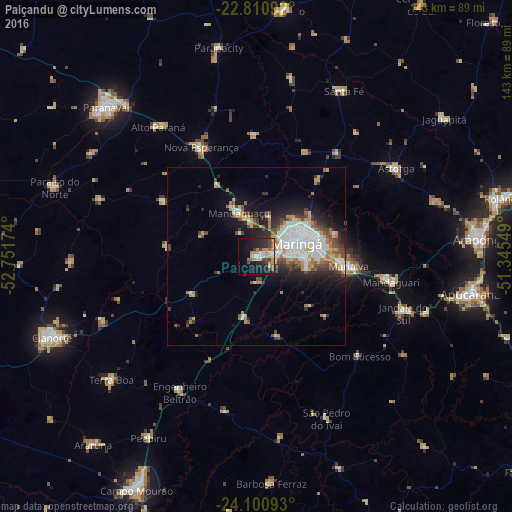
Analysis of Paiçandu night lights 2016
Square area 10x10 km:
 2.65%
2.65%90-99
4.17%80-89
4.17%70-79
5.11%60-69
7.58%50-59
2.46%40-49
6.06%30-39
4.36%20-29
10.8%10-19
28.22%0-9
24.43%Square area 50x50 km:
3.08%90-99
2.84%80-89
1.05%70-79
2.28%60-69
1.85%50-59
1.23%40-49
2.57%30-39
1.74%20-29
3.49%10-19
7.2%0-9
72.66%Clear (daylight) street map image can be seen on geolist.org.
Map coordinates:
22° 48' 39.3" South, 52° 45' 6.3" West
23° 27' 27" South, 52° 2' 55" West
24° 6' 3.3" South, 51° 20' 43.8" West
Some cities around Paiçandu sort by population:
• Maringá
11.8 km =7.3 mi,  72°
72°
• Sarandi
17.9 km =11.1 mi,  85°
85°
• Mandaguari
39.8 km =24.7 mi,  104°
104°
• Marialva
26.4 km =16.4 mi, 96°
• Jandaia do Sul
44.4 km =27.6 mi,  111°
111°
• Engenheiro Beltrão
44 km =27.3 mi,  210°
210°
• Mandaguaçu
13.2 km =8.2 mi,  338°
338°
• Alto Paraná
45.8 km =28.5 mi,  322°
322°
3455553 (p: 34,365)
Sources (retrieved 2019-11-25):
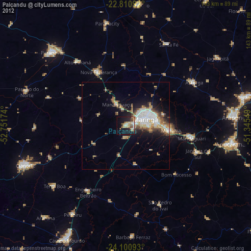
» Earth at Night: Flat Maps 2012, 2016