Mandaguaçu night lights from space
Night Light of Mandaguaçu (Paraná) from space (Brazil) Src. Average luminocity for 10x10km area is 27.6326% and for 50x50km: 14.0853%.
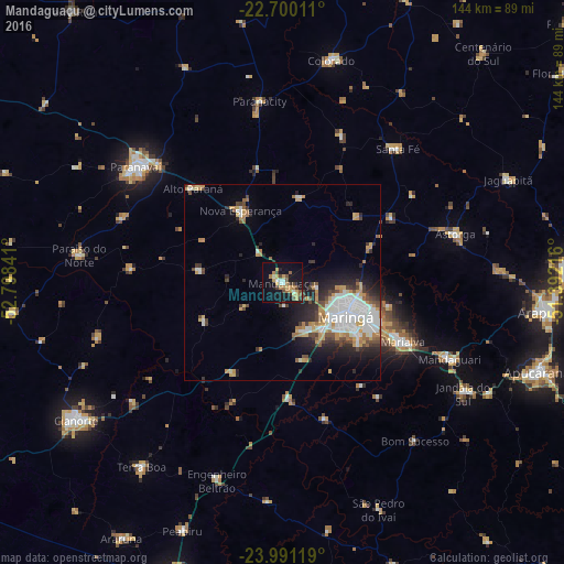
Analysis of Mandaguaçu night lights 2016
Square area 10x10 km:
 1.89%
1.89%90-99
3.41%80-89
2.08%70-79
7.39%60-69
5.3%50-59
3.03%40-49
5.49%30-39
2.46%20-29
1.52%10-19
33.33%0-9
34.09%Square area 50x50 km:
2.97%90-99
2.83%80-89
1.2%70-79
2.23%60-69
1.62%50-59
1%40-49
2.12%30-39
1.51%20-29
3.07%10-19
6.27%0-9
75.19%Clear (daylight) street map image can be seen on geolist.org.
Map coordinates:
22° 42' 0.4" South, 52° 47' 54.3" West
23° 20' 50" South, 52° 5' 43" West
23° 59' 28.3" South, 51° 23' 31.8" West
Some cities around Mandaguaçu sort by population:
• Maringá
18.2 km =11.3 mi,  118°
118°
• Sarandi
25 km =15.5 mi, 115°
• Paranavaí
48.6 km =30.2 mi,  308°
308°
• Paiçandu
13.2 km =8.2 mi,  158°
158°
• Marialva
34.6 km =21.5 mi, 116°
• Astorga
45.7 km =28.4 mi,  73°
73°
• Engenheiro Beltrão
53.1 km =33 mi,  199°
199°
• Alto Paraná
33.3 km =20.7 mi,  316°
316°
3458051 (p: 14,866)
Sources (retrieved 2019-11-25):
» Earth at Night: Flat Maps 2012, 2016