Mandaguari night lights from space
Night Light of Mandaguari (Paraná) from space (Brazil) Src. Average luminocity for 10x10km area is 22.6369% and for 50x50km: 13.4556%.
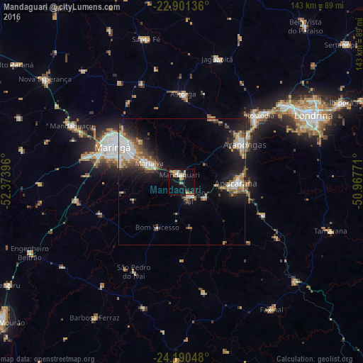
Analysis of Mandaguari night lights 2016
Square area 10x10 km:
 1.79%
1.79%90-99
3.37%80-89
2.98%70-79
4.37%60-69
4.76%50-59
1.39%40-49
2.78%30-39
0.79%20-29
0.99%10-19
28.17%0-9
48.61%Square area 50x50 km:
2.44%90-99
2.19%80-89
1.06%70-79
2.08%60-69
2.01%50-59
1.16%40-49
1.96%30-39
1.62%20-29
3.13%10-19
9.5%0-9
72.83%Clear (daylight) street map image can be seen on geolist.org.
Map coordinates:
22° 54' 4.9" South, 52° 22' 26.3" West
23° 32' 51" South, 51° 40' 15" West
24° 11' 25.7" South, 50° 58' 3.8" West
Some cities around Mandaguari sort by population:
• Maringá
30.5 km =19 mi,  296°
296°
• Apucarana
21.4 km =13.3 mi,  90°
90°
• Arapongas
28.9 km =18 mi,  60°
60°
• Sarandi
23.7 km =14.7 mi, 299°
• Paiçandu
39.8 km =24.7 mi,  284°
284°
• Marialva
14.1 km =8.8 mi, 299°
• Astorga
35 km =21.7 mi,  0°
0°
• Jandaia do Sul
6.8 km =4.2 mi,  155°
155°
3458049 (p: 38,238)
Sources (retrieved 2019-11-25):
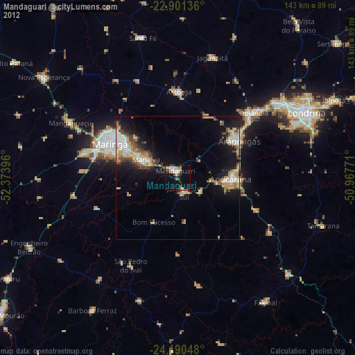
» Earth at Night: Flat Maps 2012, 2016