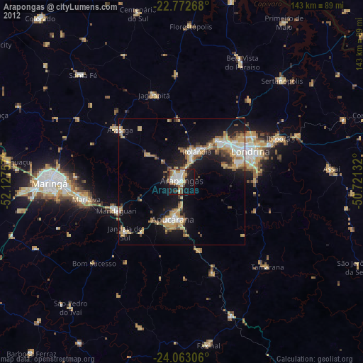
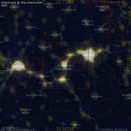
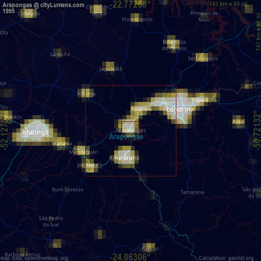
Arapongas night lights from space
Night Light of Arapongas (Paraná) from space (Brazil) Src. Average luminocity for 10x10km area is 50.9962% and for 50x50km: 15.8363%.

Analysis of Arapongas night lights 2016
Square area 10x10 km:
 11.55%
90-99
12.12%80-89
3.41%70-79
10.23%60-69
7.01%50-59
3.79%40-49
3.22%30-39
5.11%20-29
14.77%10-19
24.05%0-9
4.73%Square area 50x50 km:
2.1%90-99
2.22%80-89
1.73%70-79
2.75%60-69
2.68%50-59
1.8%40-49
1.54%30-39
2.02%20-29
4.62%10-19
12.41%0-9
66.13%Clear (daylight) street map image can be seen on geolist.org.
Map coordinates:
22° 46' 21.6" South, 52° 7' 39.3" West
23° 25' 10" South, 51° 25' 28" West
24° 3' 47" South, 50° 43' 16.8" West
Some cities around Arapongas sort by population:
• Londrina
29.3 km =18.2 mi,  65°
65°
• Apucarana
15.1 km =9.4 mi,  194°
194°
• Cambé
21.9 km =13.6 mi,  43°
43°
• Rolândia
13.4 km =8.3 mi,  24°
24°
• Mandaguari
28.9 km =18 mi,  240°
240°
• Marialva
38.2 km =23.7 mi,  258°
258°
• Astorga
32.2 km =20 mi,  310°
310°
• Jandaia do Sul
30.2 km =18.8 mi,  227°
227°
3471798 (p: 97,512)
Sources (retrieved 2019-11-25):
» NASA, Earths city lights 1995
» NASA city lights 2003
» Earth at Night: Flat Maps 2012, 2016