Lajedo night lights from space
Night Light of Lajedo (Pernambuco) from space (Brazil) Src. Average luminocity for 10x10km area is 14.1612% and for 50x50km: 3.2009%.
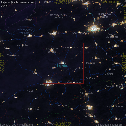
Analysis of Lajedo night lights 2016
Square area 10x10 km:
 0.62%
0.62%90-99
4.34%80-89
0%70-79
1.45%60-69
4.55%50-59
2.27%40-49
0.83%30-39
1.65%20-29
0.83%10-19
1.03%0-9
82.44%Square area 50x50 km:
0.23%90-99
0.68%80-89
0.24%70-79
0.4%60-69
0.69%50-59
0.53%40-49
0.38%30-39
0.38%20-29
0.25%10-19
1.47%0-9
94.74%Clear (daylight) street map image can be seen on geolist.org.
Map coordinates:
7° 58' 4.4" South, 37° 1' 23.3" West
8° 39' 49" South, 36° 19' 12" West
9° 21' 29" South, 35° 37' 0.8" West
Some cities around Lajedo sort by population:
• Garanhuns
31.5 km =19.6 mi,  219°
219°
• Belo Jardim
38.2 km =23.7 mi,  342°
342°
• Cachoeirinha
21.9 km =13.6 mi,  25°
25°
• Canhotinho
28.1 km =17.5 mi,  149°
149°
• Altinho
34.6 km =21.5 mi,  55°
55°
• Quipapá
38.5 km =23.9 mi,  118°
118°
• São João
24.1 km =15 mi,  192°
192°
• Caetés
35.4 km =22 mi,  249°
249°
3396496 (p: 25,261)
Sources (retrieved 2019-11-25):
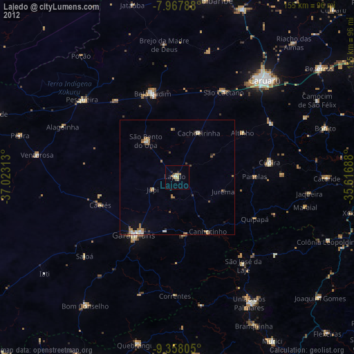
» Earth at Night: Flat Maps 2012, 2016