Garanhuns night lights from space
Night Light of Garanhuns (Pernambuco) from space (Brazil) Src. Average luminocity for 10x10km area is 42.4848% and for 50x50km: 3.572%.
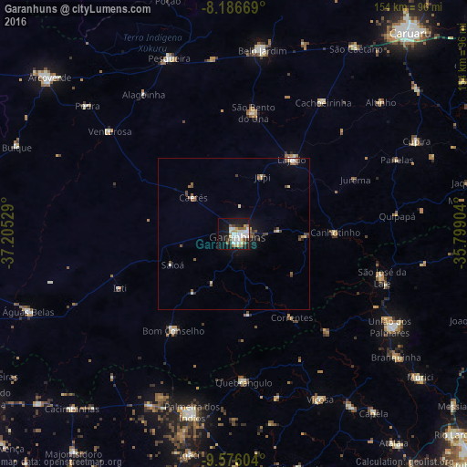

Analysis of Garanhuns night lights 2016
Square area 10x10 km:
 9.74%
9.74%90-99
13.2%80-89
2.81%70-79
3.68%60-69
4.33%50-59
6.06%40-49
1.73%30-39
1.52%20-29
6.28%10-19
34.42%0-9
16.23%Square area 50x50 km:
0.45%90-99
0.71%80-89
0.28%70-79
0.25%60-69
0.41%50-59
0.83%40-49
0.48%30-39
0.39%20-29
0.37%10-19
2.72%0-9
93.12%Clear (daylight) street map image can be seen on geolist.org.
Map coordinates:
8° 11' 12.1" South, 37° 12' 19" West
8° 52' 55.3" South, 36° 30' 7.8" West
9° 34' 33.7" South, 35° 47' 56.5" West
Some cities around Garanhuns sort by population:
• Bom Conselho
37.5 km =23.3 mi,  211°
211°
• Lajedo
31.5 km =19.6 mi,  39°
39°
• São José da Laje
50.8 km =31.6 mi,  106°
106°
• Canhotinho
34.2 km =21.3 mi,  90°
90°
• São João
14.9 km =9.3 mi, 87°
• Quebrangulo
48.7 km =30.3 mi,  175°
175°
• Santana do Mundaú
44.2 km =27.5 mi,  135°
135°
• Caetés
17.9 km =11.1 mi,  312°
312°
3399058 (p: 110,085)
Sources (retrieved 2019-11-25):
» NASA, Earths city lights 1995
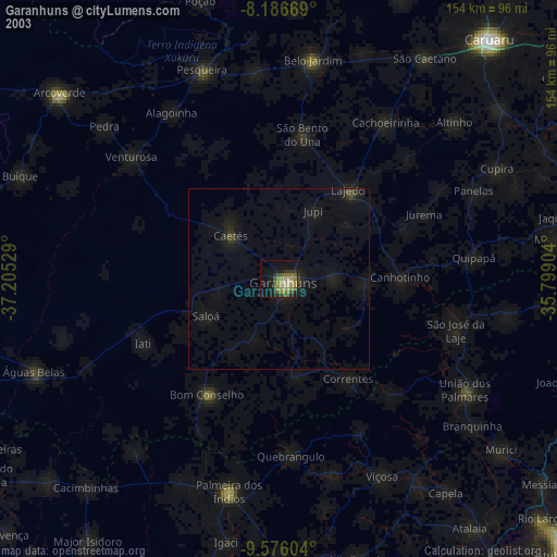
» NASA city lights 2003
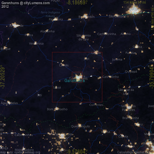
» Earth at Night: Flat Maps 2012, 2016