Quipapá night lights from space
Night Light of Quipapá (Pernambuco) from space (Brazil) Src. Average luminocity for 10x10km area is 1.6861% and for 50x50km: 1.6859%.
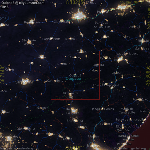
Analysis of Quipapá night lights 2016
Square area 10x10 km:
 0%
0%90-99
0%80-89
0.65%70-79
0.22%60-69
0%50-59
1.52%40-49
0.22%30-39
0%20-29
0%10-19
0%0-9
97.4%Square area 50x50 km:
0.03%90-99
0.1%80-89
0.31%70-79
0.23%60-69
0.51%50-59
0.42%40-49
0.18%30-39
0.32%20-29
0.31%10-19
0.2%0-9
97.38%Clear (daylight) street map image can be seen on geolist.org.
Map coordinates:
8° 7' 56.5" South, 36° 42' 53.3" West
8° 49' 40" South, 36° 0' 42" West
9° 31' 18.9" South, 35° 18' 30.8" West
Some cities around Quipapá sort by population:
• União dos Palmares
37.3 km =23.2 mi,  183°
183°
• Catende
37 km =23 mi,  61°
61°
• Cupira
24.4 km =15.2 mi,  16°
16°
• Maraial
22.8 km =14.2 mi,  77°
77°
• São José da Laje
20.9 km =13 mi,  194°
194°
• Canhotinho
20.6 km =12.8 mi,  252°
252°
• Colônia Leopoldina
32.8 km =20.4 mi,  105°
105°
• Ibateguara
17.9 km =11.1 mi,  153°
153°
3390965 (p: 11,533)
Sources (retrieved 2019-11-25):
» Earth at Night: Flat Maps 2012, 2016