Caetés night lights from space
Night Light of Caetés (Pernambuco) from space (Brazil) Src. Average luminocity for 10x10km area is 6.1426% and for 50x50km: 2.7892%.
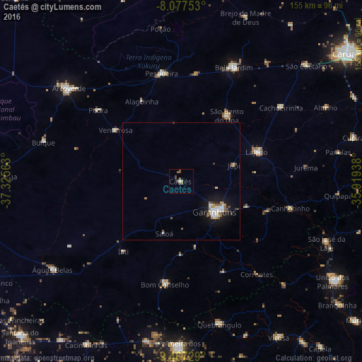
Analysis of Caetés night lights 2016
Square area 10x10 km:
 0.62%
0.62%90-99
0.21%80-89
0%70-79
0%60-69
1.65%50-59
4.34%40-49
2.27%30-39
0%20-29
0%10-19
0%0-9
90.91%Square area 50x50 km:
0.43%90-99
0.53%80-89
0.18%70-79
0.19%60-69
0.29%50-59
0.62%40-49
0.4%30-39
0.18%20-29
0.27%10-19
2.62%0-9
94.29%Clear (daylight) street map image can be seen on geolist.org.
Map coordinates:
8° 4' 39.1" South, 37° 19' 32.3" West
8° 46' 23" South, 36° 37' 21" West
9° 28' 2.2" South, 35° 55' 9.8" West
Some cities around Caetés sort by population:
• Garanhuns
17.9 km =11.1 mi,  132°
132°
• Belo Jardim
53.3 km =33.1 mi,  24°
24°
• Pesqueira
46.9 km =29.1 mi,  350°
350°
• Bom Conselho
44.5 km =27.7 mi,  188°
188°
• Lajedo
35.4 km =22 mi,  69°
69°
• Canhotinho
48.9 km =30.4 mi,  104°
104°
• Pedra
46.6 km =29 mi,  311°
311°
• São João
30.3 km =18.8 mi,  112°
112°
3404231 (p: 5,386)
Sources (retrieved 2019-11-25):
» Earth at Night: Flat Maps 2012, 2016