Lages night lights from space
Night Light of Lages (Santa Catarina) from space (Brazil) Src. Average luminocity for 10x10km area is 61.6098% and for 50x50km: 3.7706%.
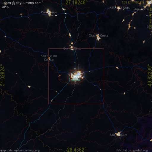
Analysis of Lages night lights 2016
Square area 10x10 km:
 18.37%
90-99
17.23%80-89
3.6%70-79
7.58%60-69
7.77%50-59
5.11%40-49
3.79%30-39
5.49%20-29
19.13%10-19
11.93%0-9
0%Square area 50x50 km:
0.76%90-99
0.74%80-89
0.22%70-79
0.35%60-69
0.48%50-59
0.43%40-49
0.36%30-39
0.52%20-29
1.01%10-19
2.88%0-9
92.26%Clear (daylight) street map image can be seen on geolist.org.
Map coordinates:
27° 11' 32.9" South, 51° 1' 45.3" West
27° 48' 58" South, 50° 19' 34" West
28° 26' 10.3" South, 49° 37' 22.8" West
Some cities around Lages sort by population:
• Vacaria
97.7 km =60.7 mi,  217°
217°
• Rio do Sul
95 km =59 mi,  45°
45°
• Curitibanos
64.5 km =40.1 mi,  336°
336°
• Estrela
66 km =41 mi,  245°
245°
• São Joaquim
65.7 km =40.8 mi,  143°
143°
• Santa Cecília
95.6 km =59.4 mi,  354°
354°
• Otacílio Costa
42.1 km =26.2 mi,  28°
28°
• Correia Pinto
26 km =16.2 mi, 352°
3458930 (p: 164,676)
Sources (retrieved 2019-11-25):
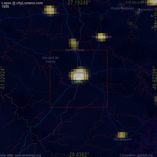
» NASA, Earths city lights 1995
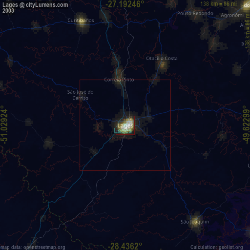
» NASA city lights 2003
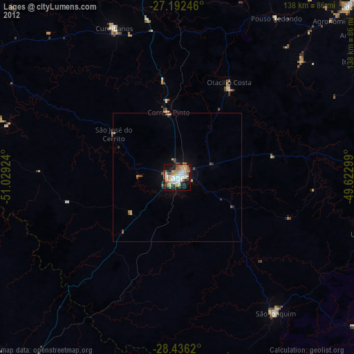
» Earth at Night: Flat Maps 2012, 2016