Curitibanos night lights from space
Night Light of Curitibanos (Santa Catarina) from space (Brazil) Src. Average luminocity for 10x10km area is 20.3277% and for 50x50km: 1.4855%.
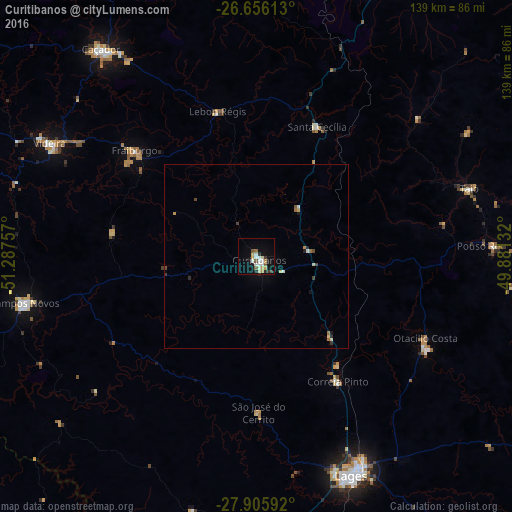
Analysis of Curitibanos night lights 2016
Square area 10x10 km:
 3.41%
3.41%90-99
4.36%80-89
2.27%70-79
3.6%60-69
0.19%50-59
3.03%40-49
1.14%30-39
1.7%20-29
2.65%10-19
13.83%0-9
63.83%Square area 50x50 km:
0.18%90-99
0.22%80-89
0.18%70-79
0.27%60-69
0.13%50-59
0.14%40-49
0.15%30-39
0.21%20-29
0.2%10-19
0.72%0-9
97.59%Clear (daylight) street map image can be seen on geolist.org.
Map coordinates:
26° 39' 22.1" South, 51° 17' 15.3" West
27° 16' 58" South, 50° 35' 4" West
27° 54' 21.3" South, 49° 52' 52.8" West
Some cities around Curitibanos sort by population:
• Lages
64.5 km =40.1 mi,  156°
156°
• Caçador
70.7 km =43.9 mi,  322°
322°
• Videira
63.9 km =39.7 mi,  298°
298°
• Campos Novos
64.6 km =40.1 mi,  258°
258°
• Celso Ramos
83.9 km =52.1 mi,  242°
242°
• Santa Cecília
39 km =24.2 mi,  23°
23°
• Otacílio Costa
50.8 km =31.6 mi,  115°
115°
• Correia Pinto
40.2 km =25 mi,  146°
146°
3464974 (p: 32,141)
Sources (retrieved 2019-11-25):
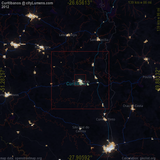
» Earth at Night: Flat Maps 2012, 2016