Vacaria night lights from space
Night Light of Vacaria (Rio Grande do Sul) from space (Brazil) Src. Average luminocity for 10x10km area is 31.6944% and for 50x50km: 1.4876%.

Analysis of Vacaria night lights 2016
Square area 10x10 km:
 6.15%
6.15%90-99
5.75%80-89
2.78%70-79
3.17%60-69
1.59%50-59
8.13%40-49
4.96%30-39
2.98%20-29
1.98%10-19
34.33%0-9
28.17%Square area 50x50 km:
0.23%90-99
0.22%80-89
0.11%70-79
0.15%60-69
0.07%50-59
0.39%40-49
0.22%30-39
0.16%20-29
0.12%10-19
1.44%0-9
96.9%Clear (daylight) street map image can be seen on geolist.org.
Map coordinates:
27° 53' 33.3" South, 51° 38' 13.3" West
28° 30' 44" South, 50° 56' 2" West
29° 7' 41.7" South, 50° 13' 50.8" West
Some cities around Vacaria sort by population:
• Caxias do Sul
76.7 km =47.7 mi,  198°
198°
• Farroupilha
88.9 km =55.2 mi,  206°
206°
• Lagoa Vermelha
67 km =41.6 mi,  300°
300°
• Estrela
50.2 km =31.2 mi,  359°
359°
• Flores da Cunha
62.3 km =38.7 mi, 202°
• Veranópolis
76.3 km =47.4 mi,  231°
231°
• São Marcos
52.7 km =32.7 mi,  194°
194°
• Nova Prata
72.6 km =45.1 mi,  245°
245°
3445630 (p: 56,765)
Sources (retrieved 2019-11-25):
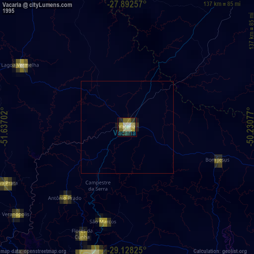
» NASA, Earths city lights 1995
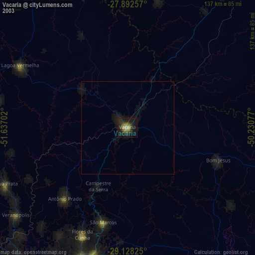
» NASA city lights 2003
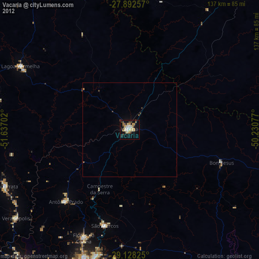
» Earth at Night: Flat Maps 2012, 2016