Correia Pinto night lights from space
Night Light of Correia Pinto (Santa Catarina) from space (Brazil) Src. Average luminocity for 10x10km area is 9.9484% and for 50x50km: 2.5971%.
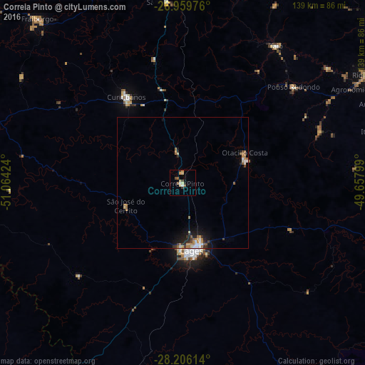
Analysis of Correia Pinto night lights 2016
Square area 10x10 km:
 0.6%
0.6%90-99
0.99%80-89
2.58%70-79
1.98%60-69
0.2%50-59
2.38%40-49
1.59%30-39
1.59%20-29
0.79%10-19
0%0-9
87.3%Square area 50x50 km:
0.28%90-99
0.3%80-89
0.3%70-79
0.41%60-69
0.51%50-59
0.4%40-49
0.21%30-39
0.4%20-29
0.54%10-19
1.45%0-9
95.19%Clear (daylight) street map image can be seen on geolist.org.
Map coordinates:
26° 57' 35.1" South, 51° 3' 51.3" West
27° 35' 5" South, 50° 21' 40" West
28° 12' 22.1" South, 49° 39' 28.8" West
Some cities around Correia Pinto sort by population:
• Lages
26 km =16.2 mi,  172°
172°
• Rio do Sul
82 km =51 mi,  59°
59°
• Curitibanos
40.2 km =25 mi,  326°
326°
• Estrela
77.6 km =48.2 mi,  226°
226°
• Campos Novos
87.6 km =54.4 mi,  283°
283°
• São Joaquim
89.4 km =55.6 mi,  151°
151°
• Santa Cecília
69.7 km =43.3 mi,  354°
354°
• Otacílio Costa
26.2 km =16.3 mi, 64°
3465409 (p: 13,752)
Sources (retrieved 2019-11-25):
» Earth at Night: Flat Maps 2012, 2016