Santa Cecília night lights from space
Night Light of Santa Cecília (Santa Catarina) from space (Brazil) Src. Average luminocity for 10x10km area is 6.8393% and for 50x50km: 0.5037%.
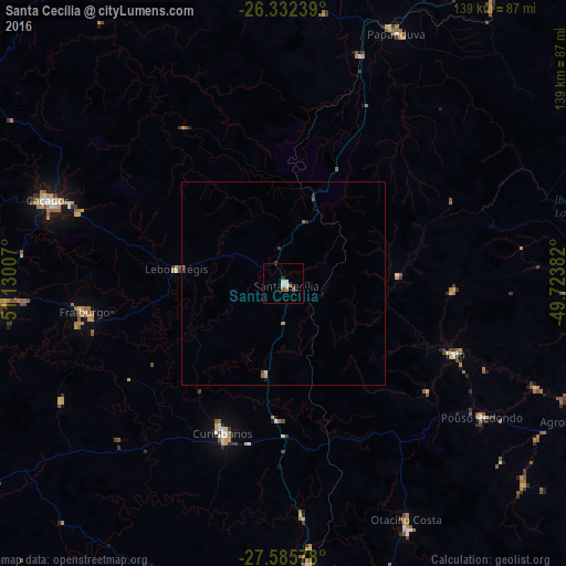
Analysis of Santa Cecília night lights 2016
Square area 10x10 km:
 0.79%
0.79%90-99
1.59%80-89
0.79%70-79
0.99%60-69
0.79%50-59
1.39%40-49
0%30-39
1.19%20-29
1.19%10-19
0.4%0-9
90.87%Square area 50x50 km:
0.05%90-99
0.08%80-89
0.03%70-79
0.1%60-69
0.09%50-59
0.09%40-49
0.05%30-39
0.12%20-29
0.11%10-19
0.05%0-9
99.23%Clear (daylight) street map image can be seen on geolist.org.
Map coordinates:
26° 19' 56.6" South, 51° 7' 48.3" West
26° 57' 39" South, 50° 25' 37" West
27° 35' 8.8" South, 49° 43' 25.8" West
Some cities around Santa Cecília sort by population:
• Caçador
61.9 km =38.5 mi,  289°
289°
• Rio do Sul
82.6 km =51.3 mi,  109°
109°
• Videira
72 km =44.7 mi,  265°
265°
• Canoinhas
87.2 km =54.2 mi,  2°
2°
• Curitibanos
39 km =24.2 mi,  203°
203°
• Ibirama
90.7 km =56.4 mi,  96°
96°
• Otacílio Costa
65.4 km =40.6 mi,  152°
152°
• Correia Pinto
69.7 km =43.3 mi,  174°
174°
3450376 (p: 15,092)
Sources (retrieved 2019-11-25):
» Earth at Night: Flat Maps 2012, 2016