Jatobá night lights from space
Night Light of Jatobá (Pernambuco) from space (Brazil) Src. Average luminocity for 10x10km area is 12.2165% and for 50x50km: 4.4142%.
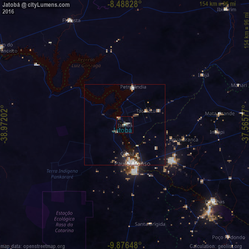
Analysis of Jatobá night lights 2016
Square area 10x10 km:
 1.3%
1.3%90-99
2.6%80-89
0.87%70-79
0.87%60-69
2.16%50-59
2.16%40-49
1.08%30-39
1.95%20-29
3.03%10-19
1.3%0-9
82.68%Square area 50x50 km:
0.64%90-99
0.82%80-89
0.26%70-79
0.27%60-69
0.55%50-59
0.73%40-49
0.72%30-39
0.65%20-29
1.27%10-19
2.13%0-9
91.94%Clear (daylight) street map image can be seen on geolist.org.
Map coordinates:
8° 29' 17.8" South, 38° 58' 19.3" West
9° 10' 59" South, 38° 16' 8" West
9° 52' 35.3" South, 37° 33' 56.8" West
Some cities around Jatobá sort by population:
• Paulo Afonso
25.5 km =15.8 mi,  166°
166°
• Delmiro Gouveia
37.4 km =23.2 mi,  127°
127°
• Floresta
72.6 km =45.1 mi,  333°
333°
• Belém de São Francisco
90.2 km =56 mi,  301°
301°
• Canindé de São Francisco
74.7 km =46.4 mi,  135°
135°
• Inhapi
57.3 km =35.6 mi,  94°
94°
• Carnaíba
85.2 km =52.9 mi,  50°
50°
• Água Branca
37.5 km =23.3 mi,  103°
103°
3392243 (p: 20,575)
Sources (retrieved 2019-11-25):
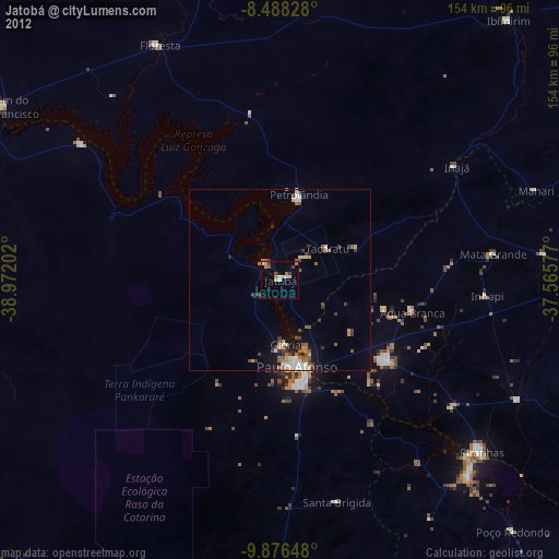
» Earth at Night: Flat Maps 2012, 2016