Carnaíba night lights from space
Night Light of Carnaíba (Pernambuco) from space (Brazil) Src. Average luminocity for 10x10km area is 0% and for 50x50km: 0.5047%.
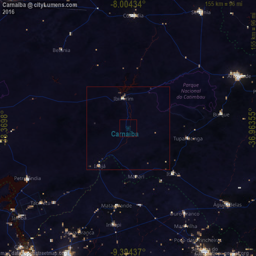
Analysis of Carnaíba night lights 2016
Square area 10x10 km:
 0%
0%90-99
0%80-89
0%70-79
0%60-69
0%50-59
0%40-49
0%30-39
0%20-29
0%10-19
0%0-9
100%Square area 50x50 km:
0.03%90-99
0.09%80-89
0.08%70-79
0.05%60-69
0.12%50-59
0.03%40-49
0.11%30-39
0.11%20-29
0.13%10-19
0.05%0-9
99.19%Clear (daylight) street map image can be seen on geolist.org.
Map coordinates:
8° 0' 15.6" South, 38° 22' 11.3" West
8° 42' 0" South, 37° 40' 0" West
9° 23' 39.7" South, 36° 57' 48.8" West
Some cities around Carnaíba sort by population:
• Arcoverde
74.3 km =46.2 mi,  65°
65°
• Buíque
56.8 km =35.3 mi,  81°
81°
• Custódia
68.2 km =42.4 mi,  2°
2°
• Itaíba
38.4 km =23.9 mi,  135°
135°
• Ibimirim
17.9 km =11.1 mi,  351°
351°
• Inhapi
58.7 km =36.5 mi,  188°
188°
• Tupanatinga
36.4 km =22.6 mi,  99°
99°
• Água Branca
69 km =42.9 mi,  205°
205°
3402848 (p: 6,019)
Sources (retrieved 2019-11-25):
» Earth at Night: Flat Maps 2012, 2016