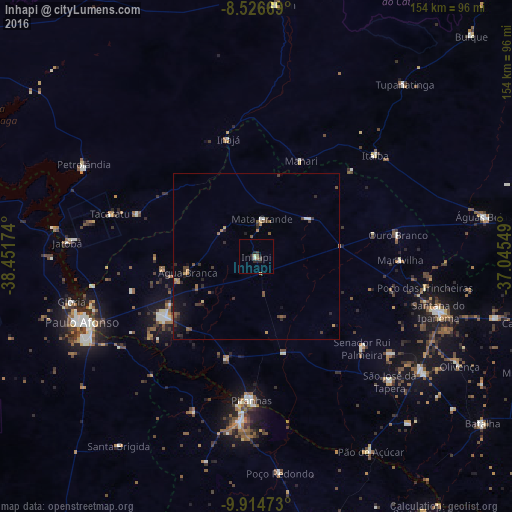
Inhapi night lights from space
Night Light of Inhapi (Alagoas) from space (Brazil) Src. Average luminocity for 10x10km area is 5.5022% and for 50x50km: 2.0535%.
Analysis of Inhapi night lights 2016
Square area 10x10 km:
 0%
0%90-99
1.08%80-89
0.65%70-79
0%60-69
0.87%50-59
0.87%40-49
0.43%30-39
1.3%20-29
4.11%10-19
1.95%0-9
88.74%Square area 50x50 km:
0.07%90-99
0.11%80-89
0.11%70-79
0.25%60-69
0.37%50-59
0.48%40-49
0.45%30-39
0.51%20-29
0.74%10-19
1.1%0-9
95.82%Clear (daylight) street map image can be seen on geolist.org.
Map coordinates:
8° 31' 36.1" South, 38° 27' 6.3" West
9° 13' 17" South, 37° 44' 55" West
9° 54' 53" South, 37° 2' 43.8" West
Some cities around Inhapi sort by population:
• Paulo Afonso
55.1 km =34.2 mi,  248°
248°
• Delmiro Gouveia
33.2 km =20.6 mi,  235°
235°
• Santana do Ipanema
57.9 km =36 mi,  107°
107°
• Jatobá
57.3 km =35.6 mi,  274°
274°
• Itaíba
47 km =29.2 mi,  49°
49°
• São José da Tapera
55 km =34.2 mi,  132°
132°
• Canindé de São Francisco
49 km =30.4 mi,  185°
185°
• Água Branca
21 km =13 mi,  257°
257°
3398192 (p: 7,550)
Sources (retrieved 2019-11-25):
» Earth at Night: Flat Maps 2012, 2016