Floresta night lights from space
Night Light of Floresta (Pernambuco) from space (Brazil) Src. Average luminocity for 10x10km area is 8.8099% and for 50x50km: 0.5875%.
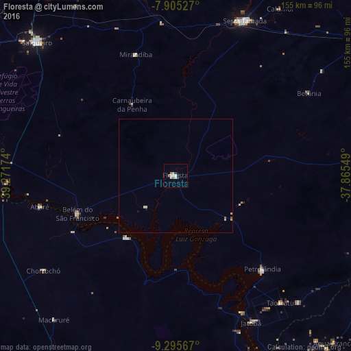
Analysis of Floresta night lights 2016
Square area 10x10 km:
 1.86%
1.86%90-99
3.1%80-89
0%70-79
0.41%60-69
0.41%50-59
1.65%40-49
0%30-39
1.65%20-29
0.41%10-19
0.41%0-9
90.08%Square area 50x50 km:
0.08%90-99
0.19%80-89
0.06%70-79
0.05%60-69
0.03%50-59
0.1%40-49
0.03%30-39
0.07%20-29
0.02%10-19
0.08%0-9
99.29%Clear (daylight) street map image can be seen on geolist.org.
Map coordinates:
7° 54' 19" South, 39° 16' 18.3" West
8° 36' 4" South, 38° 34' 7" West
9° 17' 44.4" South, 37° 51' 55.8" West
Some cities around Floresta sort by population:
• Paulo Afonso
97.6 km =60.6 mi,  156°
156°
• Serra Talhada
74 km =46 mi,  23°
23°
• Salgueiro
84.3 km =52.4 mi,  314°
314°
• Jatobá
72.6 km =45.1 mi,  153°
153°
• Cabrobó
82.1 km =51 mi,  276°
276°
• São José do Belmonte
84.9 km =52.8 mi,  345°
345°
• Ibimirim
96.8 km =60.1 mi,  86°
86°
• Belém de São Francisco
46.8 km =29.1 mi,  248°
248°
3399518 (p: 18,100)
Sources (retrieved 2019-11-25):
» Earth at Night: Flat Maps 2012, 2016