Delmiro Gouveia night lights from space
Night Light of Delmiro Gouveia (Alagoas) from space (Brazil) Src. Average luminocity for 10x10km area is 38.2641% and for 50x50km: 6.9682%.
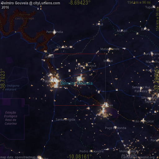
Analysis of Delmiro Gouveia night lights 2016
Square area 10x10 km:
 7.36%
7.36%90-99
6.71%80-89
3.25%70-79
0.87%60-69
6.06%50-59
7.14%40-49
6.49%30-39
7.58%20-29
6.28%10-19
43.29%0-9
4.98%Square area 50x50 km:
0.93%90-99
1.16%80-89
0.41%70-79
0.56%60-69
0.76%50-59
1.21%40-49
1.02%30-39
1.27%20-29
1.57%10-19
5.69%0-9
85.42%Clear (daylight) street map image can be seen on geolist.org.
Map coordinates:
8° 41' 39.2" South, 38° 42' 8.3" West
9° 23' 19" South, 37° 59' 57" West
10° 4' 53.8" South, 37° 17' 45.8" West
Some cities around Delmiro Gouveia sort by population:
• Paulo Afonso
23.7 km =14.7 mi,  265°
265°
• Jatobá
37.4 km =23.2 mi,  307°
307°
• Itaíba
80.1 km =49.8 mi,  52°
52°
• São José da Tapera
70.4 km =43.7 mi,  105°
105°
• Pão de Açúcar
73.5 km =45.7 mi,  122°
122°
• Canindé de São Francisco
37.9 km =23.5 mi,  142°
142°
• Inhapi
33.2 km =20.6 mi,  55°
55°
• Água Branca
15.8 km =9.8 mi,  25°
25°
3401109 (p: 35,259)
Sources (retrieved 2019-11-25):
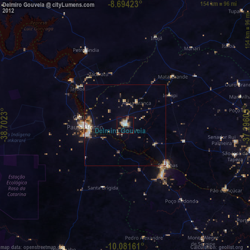
» Earth at Night: Flat Maps 2012, 2016