Belém de São Francisco night lights from space
Night Light of Belém de São Francisco (Pernambuco) from space (Brazil) Src. Average luminocity for 10x10km area is 6.4669% and for 50x50km: 0.9131%.
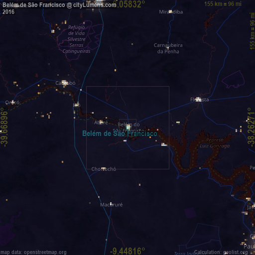
Analysis of Belém de São Francisco night lights 2016
Square area 10x10 km:
 0.83%
0.83%90-99
1.65%80-89
0.21%70-79
0.62%60-69
0.83%50-59
0.83%40-49
1.65%30-39
0%20-29
0.83%10-19
1.65%0-9
90.91%Square area 50x50 km:
0.11%90-99
0.23%80-89
0.08%70-79
0.13%60-69
0.12%50-59
0.15%40-49
0.13%30-39
0.08%20-29
0.1%10-19
0.1%0-9
98.79%Clear (daylight) street map image can be seen on geolist.org.
Map coordinates:
8° 3' 30" South, 39° 40' 8.3" West
8° 45' 14" South, 38° 57' 57" West
9° 26' 53.4" South, 38° 15' 45.8" West
Some cities around Belém de São Francisco sort by population:
• Salgueiro
77.4 km =48.1 mi,  347°
347°
• Jatobá
90.2 km =56 mi,  121°
121°
• Floresta
46.8 km =29.1 mi,  68°
68°
• Cabrobó
46.3 km =28.8 mi,  305°
305°
• Santa Maria da Boa Vista
94.7 km =58.8 mi,  266°
266°
• São José do Belmonte
101.8 km =63.3 mi,  12°
12°
• Curaçá
106.9 km =66.4 mi,  255°
255°
• Parnamirim
99.9 km =62.1 mi,  317°
317°
3405852 (p: 11,124)
Sources (retrieved 2019-11-25):
» Earth at Night: Flat Maps 2012, 2016