Jales night lights from space
Night Light of Jales (São Paulo) from space (Brazil) Src. Average luminocity for 10x10km area is 24.6012% and for 50x50km: 2.4775%.
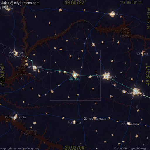
Analysis of Jales night lights 2016
Square area 10x10 km:
 2.18%
2.18%90-99
3.37%80-89
2.18%70-79
5.16%60-69
4.56%50-59
2.78%40-49
5.36%30-39
2.18%20-29
0.79%10-19
19.44%0-9
51.98%Square area 50x50 km:
0.11%90-99
0.16%80-89
0.21%70-79
0.74%60-69
0.59%50-59
0.29%40-49
0.51%30-39
0.29%20-29
0.19%10-19
0.93%0-9
96%Clear (daylight) street map image can be seen on geolist.org.
Map coordinates:
19° 36' 28.5" South, 51° 14' 56.3" West
20° 16' 8" South, 50° 32' 45" West
20° 55' 37.4" South, 49° 50' 33.8" West
Some cities around Jales sort by population:
• Votuporanga
62.1 km =38.6 mi,  105°
105°
• Fernandópolis
31.3 km =19.4 mi,  93°
93°
• Iturama
70.4 km =43.7 mi,  31°
31°
• Santa Fé do Sul
40.2 km =25 mi,  279°
279°
• Aparecida do Taboado
60.7 km =37.7 mi,  289°
289°
• Auriflama
46.3 km =28.8 mi,  181°
181°
• Cardoso
69.1 km =42.9 mi,  72°
72°
• General Salgado
46.4 km =28.8 mi,  155°
155°
3460186 (p: 43,831)
Sources (retrieved 2019-11-25):
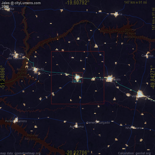
» Earth at Night: Flat Maps 2012, 2016