Votuporanga night lights from space
Night Light of Votuporanga (São Paulo) from space (Brazil) Src. Average luminocity for 10x10km area is 43.1231% and for 50x50km: 3.6431%.
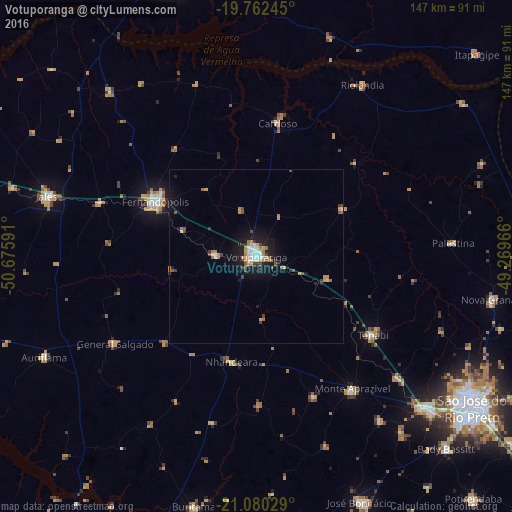
Analysis of Votuporanga night lights 2016
Square area 10x10 km:
 10.04%
90-99
7.39%80-89
3.41%70-79
7.39%60-69
7.95%50-59
2.46%40-49
4.55%30-39
3.79%20-29
6.44%10-19
41.48%0-9
5.11%Square area 50x50 km:
0.49%90-99
0.41%80-89
0.18%70-79
0.69%60-69
0.71%50-59
0.27%40-49
0.6%30-39
0.43%20-29
0.47%10-19
3.08%0-9
92.66%Clear (daylight) street map image can be seen on geolist.org.
Map coordinates:
19° 45' 44.8" South, 50° 40' 33.3" West
20° 25' 22" South, 49° 58' 22" West
21° 4' 49" South, 49° 16' 10.8" West
Some cities around Votuporanga sort by population:
• Fernandópolis
32.4 km =20.1 mi,  298°
298°
• Jales
62.1 km =38.6 mi,  285°
285°
• Tanabi
40.6 km =25.2 mi,  123°
123°
• Monte Aprazível
47.3 km =29.4 mi,  145°
145°
• Riolândia
57.8 km =35.9 mi,  31°
31°
• Cardoso
38.4 km =23.9 mi,  9°
9°
• Nhandeara
30.5 km =19 mi,  193°
193°
• General Salgado
47.5 km =29.5 mi,  238°
238°
3444864 (p: 69,863)
Sources (retrieved 2019-11-25):
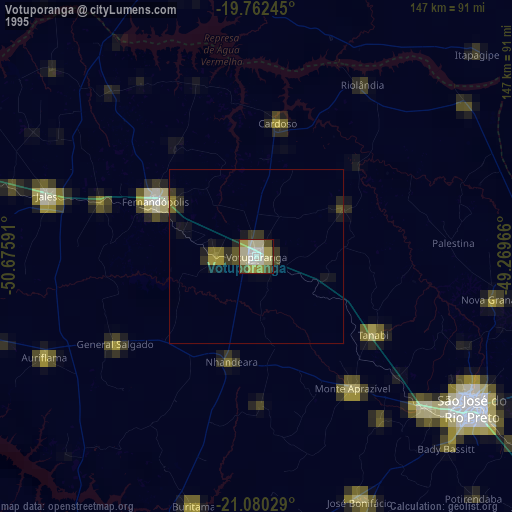
» NASA, Earths city lights 1995
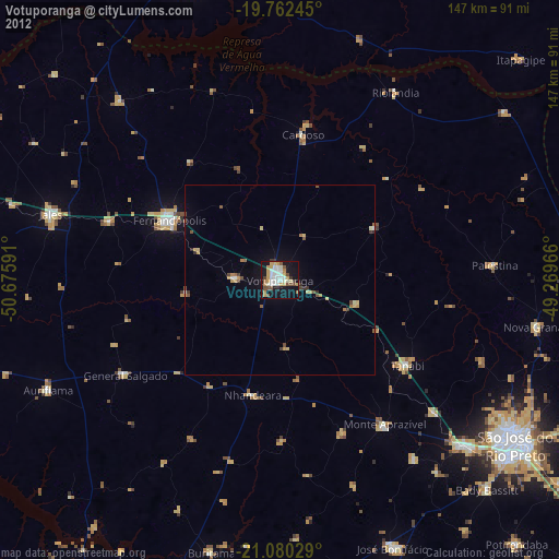
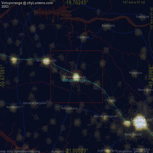
» NASA city lights 2003
» Earth at Night: Flat Maps 2012, 2016