Itapipoca night lights from space
Night Light of Itapipoca (Ceará) from space (Brazil) Src. Average luminocity for 10x10km area is 32.5541% and for 50x50km: 4.5247%.
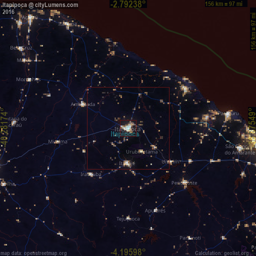
Analysis of Itapipoca night lights 2016
Square area 10x10 km:
 3.68%
3.68%90-99
7.58%80-89
4.98%70-79
2.38%60-69
4.11%50-59
4.98%40-49
2.6%30-39
4.76%20-29
2.38%10-19
43.51%0-9
19.05%Square area 50x50 km:
0.2%90-99
0.54%80-89
0.37%70-79
0.55%60-69
0.4%50-59
0.99%40-49
1.13%30-39
0.66%20-29
1.32%10-19
2.69%0-9
91.16%Clear (daylight) street map image can be seen on geolist.org.
Map coordinates:
2° 47' 32.6" South, 40° 16' 54.3" West
3° 29' 40" South, 39° 34' 43" West
4° 11' 45.5" South, 38° 52' 31.8" West
Some cities around Itapipoca sort by population:
• Itapagé
21.4 km =13.3 mi,  182°
182°
• Trairi
42 km =26.1 mi,  54°
54°
• Pentecoste
47.7 km =29.6 mi,  134°
134°
• Paraipaba
48.1 km =29.9 mi,  82°
82°
• Amontada
31.7 km =19.7 mi,  297°
297°
• Irauçuba
36 km =22.4 mi,  219°
219°
• Umirim
32.5 km =20.2 mi, 128°
• Uruburetama
16.5 km =10.3 mi,  151°
151°
3397909 (p: 55,784)
Sources (retrieved 2019-11-25):
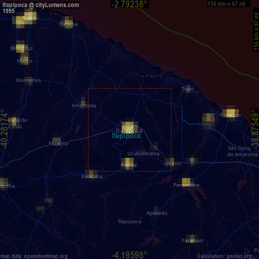
» NASA, Earths city lights 1995
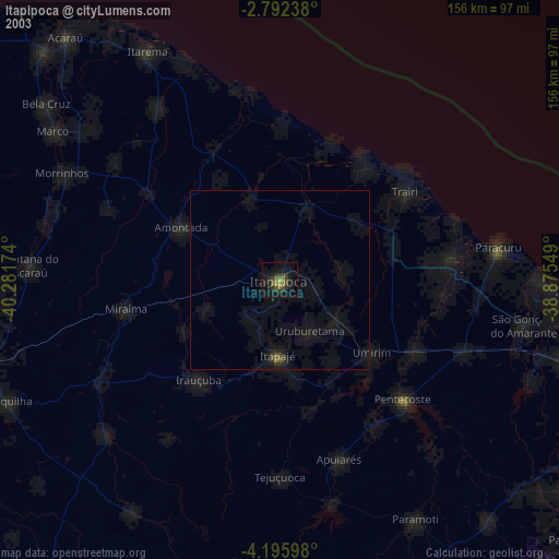
» NASA city lights 2003
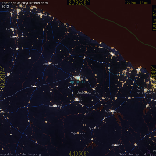
» Earth at Night: Flat Maps 2012, 2016