Itapagé night lights from space
Night Light of Itapagé (Ceará) from space (Brazil) Src. Average luminocity for 10x10km area is 16.7338% and for 50x50km: 4.4939%.
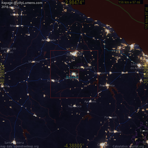
Analysis of Itapagé night lights 2016
Square area 10x10 km:
 1.3%
1.3%90-99
2.38%80-89
1.52%70-79
2.6%60-69
0.87%50-59
4.33%40-49
3.46%30-39
1.73%20-29
2.6%10-19
3.9%0-9
75.32%Square area 50x50 km:
0.22%90-99
0.63%80-89
0.48%70-79
0.45%60-69
0.39%50-59
1%40-49
1.07%30-39
0.87%20-29
0.83%10-19
2.15%0-9
91.91%Clear (daylight) street map image can be seen on geolist.org.
Map coordinates:
2° 59' 5.1" South, 40° 17' 21.3" West
3° 41' 12" South, 39° 35' 10" West
4° 23' 17" South, 38° 52' 58.8" West
Some cities around Itapagé sort by population:
• Itapipoca
21.4 km =13.3 mi,  2°
2°
• Trairi
57.5 km =35.7 mi,  37°
37°
• Pentecoste
37 km =23 mi,  108°
108°
• Paraipaba
55.8 km =34.7 mi,  60°
60°
• Amontada
45.3 km =28.1 mi,  322°
322°
• Irauçuba
22.9 km =14.2 mi,  253°
253°
• Umirim
26.2 km =16.3 mi,  87°
87°
• Uruburetama
11 km =6.8 mi,  51°
51°
3397941 (p: 32,043)
Sources (retrieved 2019-11-25):
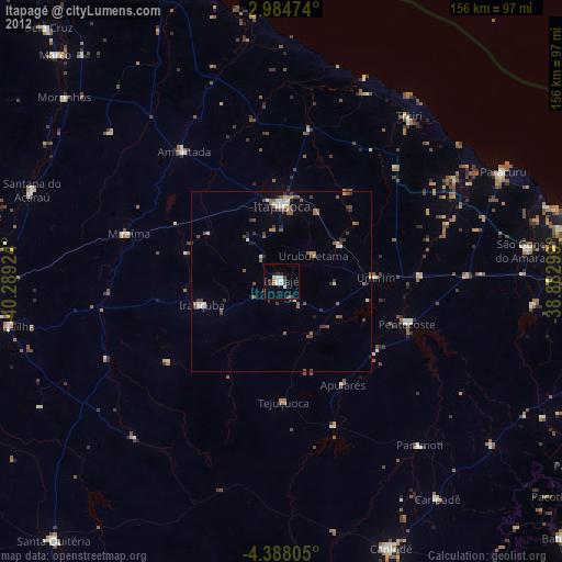
» Earth at Night: Flat Maps 2012, 2016