Belo Horizonte night lights from space
Night Light of Belo Horizonte (Minas Gerais) from space (Brazil) Src. Average luminocity for 10x10km area is 97.8312% and for 50x50km: 50.9156%.
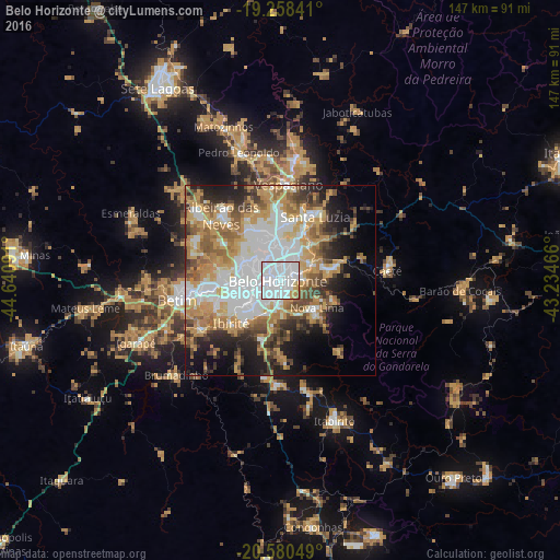
Analysis of Belo Horizonte night lights 2016
Square area 10x10 km:
 80.74%
90-99
11.26%80-89
2.16%70-79
4.98%60-69
0.65%50-59
0.22%40-49
0%30-39
0%20-29
0%10-19
0%0-9
0%Square area 50x50 km:
15.08%90-99
8.02%80-89
4.48%70-79
11.59%60-69
7.47%50-59
5.66%40-49
6.05%30-39
4.25%20-29
5.99%10-19
10.07%0-9
21.34%Clear (daylight) street map image can be seen on geolist.org.
Map coordinates:
19° 15' 30.3" South, 44° 38' 27.3" West
19° 55' 15" South, 43° 56' 16" West
20° 34' 49.8" South, 43° 14' 4.8" West
Some cities around Belo Horizonte sort by population:
• Contagem
12.2 km =7.6 mi,  264°
264°
• Ribeirão das Neves
23.1 km =14.4 mi,  317°
317°
• Santa Luzia
19.1 km =11.9 mi,  28°
28°
• Ibirité
16.9 km =10.5 mi,  228°
228°
• Vespasiano
25.5 km =15.8 mi,  3°
3°
• Nova Lima
11.9 km =7.4 mi,  127°
127°
• Sarzedo
25.1 km =15.6 mi,  239°
239°
• Raposos
14.9 km =9.3 mi,  110°
110°
3470127 (p: 2,373,224)
Sources (retrieved 2019-11-25):
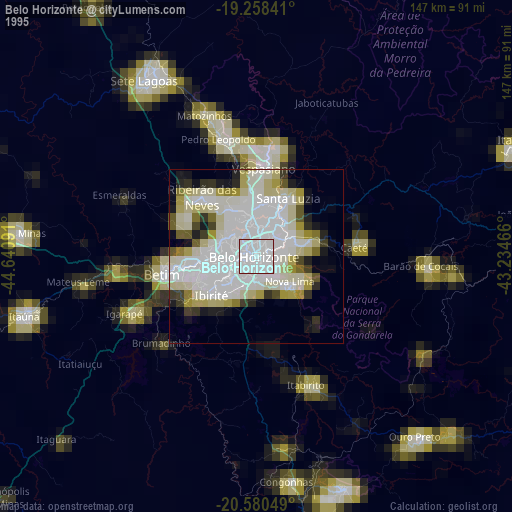
» NASA, Earths city lights 1995
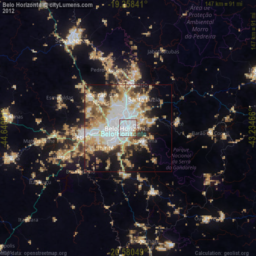
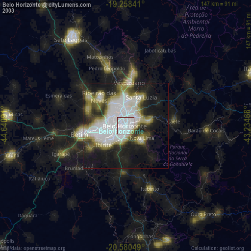
» NASA city lights 2003
» Earth at Night: Flat Maps 2012, 2016