Itabaiana night lights from space
Night Light of Itabaiana (Sergipe) from space (Brazil) Src. Average luminocity for 10x10km area is 80.0083% and for 50x50km: 24.5549%.
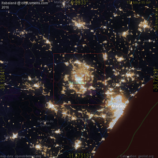
Analysis of Itabaiana night lights 2016
Square area 10x10 km:
 18.8%
18.8%90-99
26.45%80-89
11.98%70-79
13.02%60-69
12.4%50-59
8.26%40-49
4.13%30-39
4.96%20-29
0%10-19
0%0-9
0%Square area 50x50 km:
1.61%90-99
3.44%80-89
2.74%70-79
3.75%60-69
5.29%50-59
5.24%40-49
3.56%30-39
4.01%20-29
7.17%10-19
15.48%0-9
47.71%Clear (daylight) street map image can be seen on geolist.org.
Map coordinates:
9° 59' 35.9" South, 38° 7' 42.3" West
10° 41' 6" South, 37° 25' 31" West
11° 22' 30.5" South, 36° 43' 19.8" West
Some cities around Itabaiana sort by population:
• Lagarto
35.6 km =22.1 mi,  223°
223°
• Laranjeiras
31 km =19.3 mi,  115°
115°
• Nossa Senhora das Dores
33.2 km =20.6 mi,  49°
49°
• Ribeirópolis
16.2 km =10.1 mi,  3°
3°
• Campo do Brito
9.2 km =5.7 mi,  234°
234°
• Areia Branca
14.5 km =9 mi, 123°
• Frei Paulo
19.2 km =11.9 mi,  321°
321°
• Malhador
13.5 km =8.4 mi,  77°
77°
3460974 (p: 63,888)
Sources (retrieved 2019-11-25):
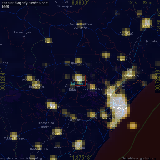
» NASA, Earths city lights 1995
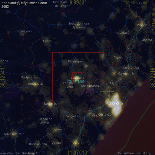
» NASA city lights 2003
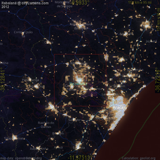
» Earth at Night: Flat Maps 2012, 2016