Lagarto night lights from space
Night Light of Lagarto (Sergipe) from space (Brazil) Src. Average luminocity for 10x10km area is 52.0498% and for 50x50km: 15.5155%.
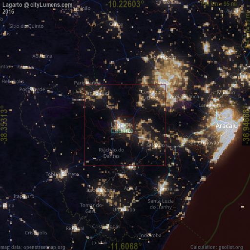
Analysis of Lagarto night lights 2016
Square area 10x10 km:
 8.66%
8.66%90-99
14.07%80-89
5.84%70-79
6.28%60-69
3.9%50-59
10.17%40-49
8.23%30-39
6.49%20-29
14.5%10-19
18.4%0-9
3.46%Square area 50x50 km:
1.05%90-99
1.45%80-89
0.77%70-79
1.65%60-69
2.89%50-59
4.02%40-49
3.19%30-39
3.46%20-29
4.56%10-19
15.32%0-9
61.65%Clear (daylight) street map image can be seen on geolist.org.
Map coordinates:
10° 13' 33.7" South, 38° 21' 11.3" West
10° 55' 2" South, 37° 39' 0" West
11° 36' 24.5" South, 36° 56' 48.8" West
Some cities around Lagarto sort by population:
• Itabaiana
35.6 km =22.1 mi,  43°
43°
• Simão Dias
26.6 km =16.5 mi,  318°
318°
• Itabaianinha
42.5 km =26.4 mi,  201°
201°
• Boquim
25.7 km =16 mi,  172°
172°
• Campo do Brito
26.7 km =16.6 mi, 39°
• Areia Branca
40.6 km =25.2 mi,  64°
64°
• Paripiranga
34.5 km =21.4 mi, 317°
• Salgado
23 km =14.3 mi,  123°
123°
3459342 (p: 45,445)
Sources (retrieved 2019-11-25):
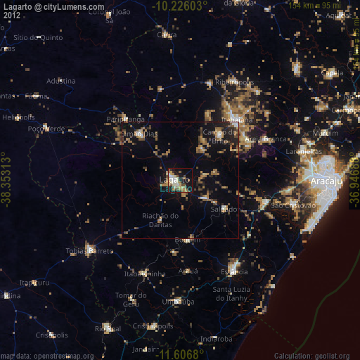
» Earth at Night: Flat Maps 2012, 2016