Horizonte night lights from space
Night Light of Horizonte (Ceará) from space (Brazil) Src. Average luminocity for 10x10km area is 65.7208% and for 50x50km: 30.4477%.
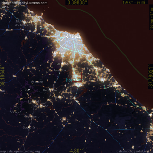
Analysis of Horizonte night lights 2016
Square area 10x10 km:
 6.49%
6.49%90-99
22.29%80-89
6.71%70-79
10.17%60-69
10.82%50-59
14.07%40-49
9.09%30-39
11.69%20-29
8.44%10-19
0.22%0-9
0%Square area 50x50 km:
2.14%90-99
6.3%80-89
3.67%70-79
3.79%60-69
5.36%50-59
6.35%40-49
4.84%30-39
5.28%20-29
8.91%10-19
15.66%0-9
37.7%Clear (daylight) street map image can be seen on geolist.org.
Map coordinates:
3° 23' 54.2" South, 39° 11' 11.3" West
4° 6' 0" South, 38° 28' 60" West
4° 48' 3.6" South, 37° 46' 48.8" West
Some cities around Horizonte sort by population:
• Aquiraz
24.3 km =15.1 mi,  24°
24°
• Pacatuba
19.9 km =12.4 mi,  310°
310°
• Cascavel
27 km =16.8 mi,  97°
97°
• Pacajus
8.4 km =5.2 mi,  162°
162°
• Eusébio
23.6 km =14.7 mi,  8°
8°
• Itaitinga
15.3 km =9.5 mi,  341°
341°
• Guaiúba
18.3 km =11.4 mi,  291°
291°
• Chorozinho
22.3 km =13.9 mi,  184°
184°
3398450 (p: 51,171)
Sources (retrieved 2019-11-25):
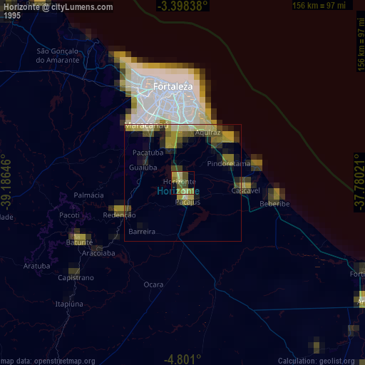
» NASA, Earths city lights 1995
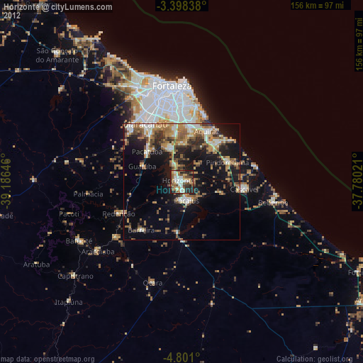
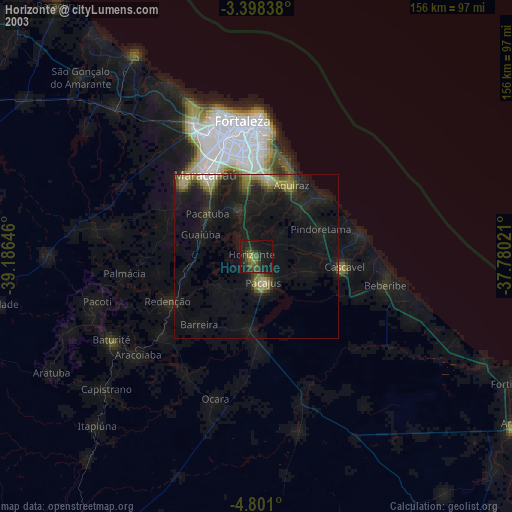
» NASA city lights 2003
» Earth at Night: Flat Maps 2012, 2016