Pacatuba night lights from space
Night Light of Pacatuba (Ceará) from space (Brazil) Src. Average luminocity for 10x10km area is 32.2857% and for 50x50km: 36.4948%.
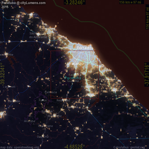
Analysis of Pacatuba night lights 2016
Square area 10x10 km:
 0.87%
0.87%90-99
3.46%80-89
2.6%70-79
2.81%60-69
5.41%50-59
11.69%40-49
6.49%30-39
7.58%20-29
13.42%10-19
31.82%0-9
13.85%Square area 50x50 km:
10.16%90-99
8.94%80-89
3.42%70-79
3.52%60-69
4.59%50-59
4.88%40-49
3.36%30-39
4.51%20-29
6.23%10-19
8.94%0-9
41.45%Clear (daylight) street map image can be seen on geolist.org.
Map coordinates:
3° 16' 56.9" South, 39° 19' 24.3" West
3° 59' 3" South, 38° 37' 13" West
4° 41' 7" South, 37° 55' 1.8" West
Some cities around Pacatuba sort by population:
• Caucaia
27.8 km =17.3 mi,  352°
352°
• Maracanaú
12 km =7.5 mi,  357°
357°
• Aquiraz
27 km =16.8 mi,  70°
70°
• Horizonte
19.9 km =12.4 mi,  130°
130°
• Pacajus
27.4 km =17 mi,  139°
139°
• Eusébio
21.5 km =13.4 mi,  60°
60°
• Itaitinga
10.4 km =6.5 mi,  80°
80°
• Guaiúba
6.5 km =4 mi,  196°
196°
3393400 (p: 55,291)
Sources (retrieved 2019-11-25):
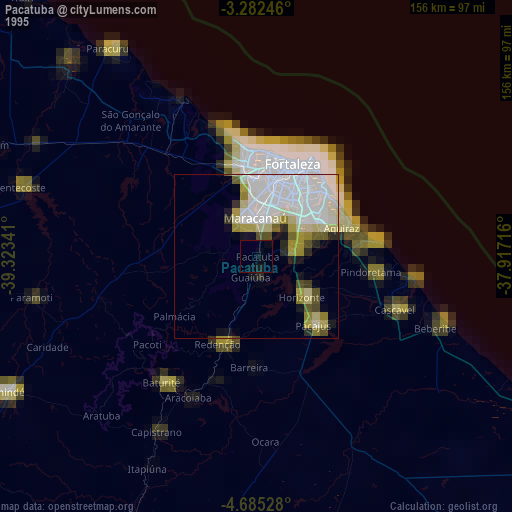
» NASA, Earths city lights 1995
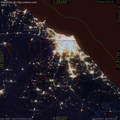
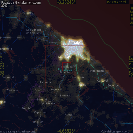
» NASA city lights 2003
» Earth at Night: Flat Maps 2012, 2016