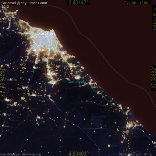
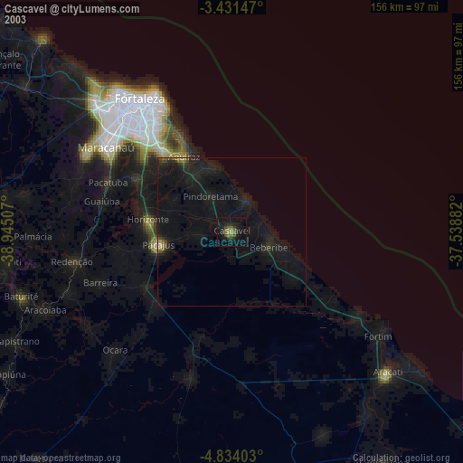
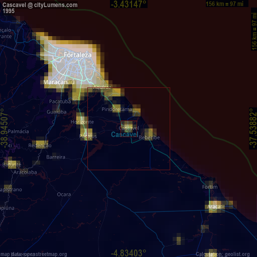
Cascavel night lights from space
Night Light of Cascavel (Ceará) from space (Brazil) Src. Average luminocity for 10x10km area is 43.7229% and for 50x50km: 18.1983%.
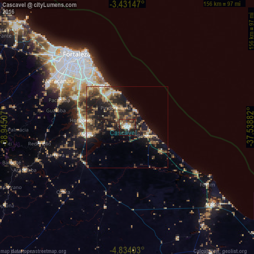
Analysis of Cascavel night lights 2016
Square area 10x10 km:
 4.98%
4.98%90-99
9.74%80-89
2.16%70-79
5.41%60-69
5.63%50-59
7.58%40-49
11.47%30-39
8.87%20-29
13.64%10-19
28.79%0-9
1.73%Square area 50x50 km:
0.72%90-99
2.44%80-89
1.82%70-79
2.25%60-69
2.98%50-59
4.51%40-49
3.61%30-39
4.28%20-29
7.03%10-19
14.02%0-9
56.34%Clear (daylight) street map image can be seen on geolist.org.
Map coordinates:
3° 25' 53.3" South, 38° 56' 42.3" West
4° 7' 59" South, 38° 14' 31" West
4° 50' 2.5" South, 37° 32' 19.8" West
Some cities around Cascavel sort by population:
• Aquiraz
30.6 km =19 mi,  327°
327°
• Horizonte
27 km =16.8 mi,  277°
277°
• Pacajus
24.6 km =15.3 mi,  259°
259°
• Eusébio
35.6 km =22.1 mi,  319°
319°
• Beberibe
13.4 km =8.3 mi,  112°
112°
• Itaitinga
36.6 km =22.7 mi,  299°
299°
• Guaiúba
45.1 km =28 mi, 283°
• Chorozinho
33.9 km =21.1 mi,  236°
236°
3402613 (p: 52,357)
Sources (retrieved 2019-11-25):
» NASA, Earths city lights 1995
» NASA city lights 2003
» Earth at Night: Flat Maps 2012, 2016