Itaitinga night lights from space
Night Light of Itaitinga (Ceará) from space (Brazil) Src. Average luminocity for 10x10km area is 60.3658% and for 50x50km: 44.6775%.
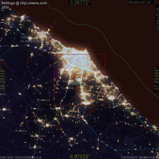
Analysis of Itaitinga night lights 2016
Square area 10x10 km:
 3.03%
3.03%90-99
11.69%80-89
10.82%70-79
7.79%60-69
17.97%50-59
14.94%40-49
9.74%30-39
11.04%20-29
11.9%10-19
1.08%0-9
0%Square area 50x50 km:
11.88%90-99
10.82%80-89
4.34%70-79
4.25%60-69
5.6%50-59
6.1%40-49
4.59%30-39
5.18%20-29
9.24%10-19
13.12%0-9
24.89%Clear (daylight) street map image can be seen on geolist.org.
Map coordinates:
3° 16' 3.8" South, 39° 13' 52.3" West
3° 58' 10" South, 38° 31' 41" West
4° 40' 14" South, 37° 49' 29.8" West
Some cities around Itaitinga sort by population:
• Fortaleza
28.1 km =17.5 mi,  356°
356°
• Maracanaú
14.9 km =9.3 mi,  313°
313°
• Aquiraz
17 km =10.6 mi,  63°
63°
• Pacatuba
10.4 km =6.5 mi,  260°
260°
• Horizonte
15.3 km =9.5 mi,  161°
161°
• Pacajus
23.8 km =14.8 mi, 161°
• Eusébio
12.3 km =7.6 mi,  44°
44°
• Guaiúba
14.4 km =8.9 mi,  237°
237°
3397969 (p: 30,938)
Sources (retrieved 2019-11-25):
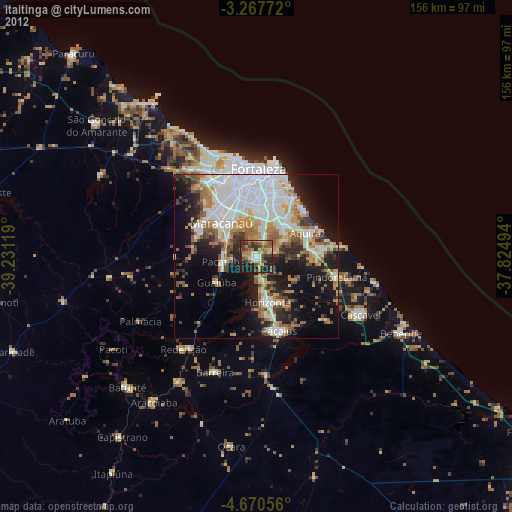
» Earth at Night: Flat Maps 2012, 2016