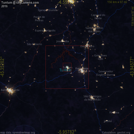
Tuntum night lights from space
Night Light of Tuntum (Maranhão) from space (Brazil) Src. Average luminocity for 10x10km area is 9.9979% and for 50x50km: 2.4832%.
Analysis of Tuntum night lights 2016
Square area 10x10 km:
 0%
0%90-99
3.31%80-89
1.03%70-79
0.62%60-69
0.83%50-59
2.48%40-49
0.62%30-39
3.31%20-29
1.65%10-19
0.21%0-9
85.95%Square area 50x50 km:
0.14%90-99
0.39%80-89
0.15%70-79
0.09%60-69
0.46%50-59
0.69%40-49
0.53%30-39
0.5%20-29
0.46%10-19
1.08%0-9
95.51%Clear (daylight) street map image can be seen on geolist.org.
Map coordinates:
4° 33' 27.1" South, 45° 21' 7.3" West
5° 15' 29" South, 44° 38' 56" West
5° 57' 28.2" South, 43° 56' 44.8" West
Some cities around Tuntum sort by population:
• Barra do Corda
71.3 km =44.3 mi,  247°
247°
• Presidente Dutra
17.9 km =11.1 mi,  101°
101°
• Colinas
96.1 km =59.7 mi,  152°
152°
• São Domingos do Maranhão
45.8 km =28.5 mi,  140°
140°
• Dom Pedro
33.8 km =21 mi,  43°
43°
• Esperantinópolis
44 km =27.3 mi,  351°
351°
• Poção de Pedras
69.4 km =43.1 mi,  341°
341°
• Fortuna
75.8 km =47.1 mi,  134°
134°
3385922 (p: 16,402)
Sources (retrieved 2019-11-25):
» Earth at Night: Flat Maps 2012, 2016