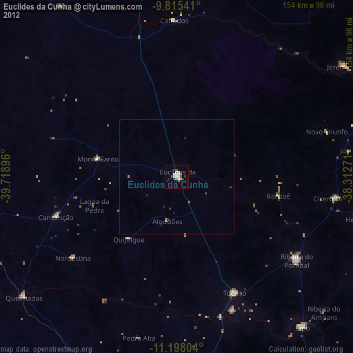
Euclides da Cunha night lights from space
Night Light of Euclides da Cunha (Bahia) from space (Brazil) Src. Average luminocity for 10x10km area is 23.6508% and for 50x50km: 1.4802%.
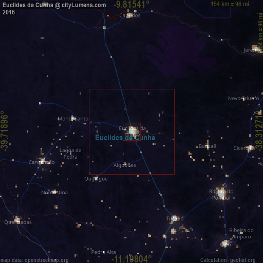
Analysis of Euclides da Cunha night lights 2016
Square area 10x10 km:
 2.89%
2.89%90-99
4.75%80-89
2.27%70-79
0.83%60-69
2.48%50-59
6.82%40-49
3.72%30-39
1.86%20-29
3.93%10-19
14.88%0-9
55.58%Square area 50x50 km:
0.12%90-99
0.19%80-89
0.09%70-79
0.13%60-69
0.1%50-59
0.46%40-49
0.35%30-39
0.24%20-29
0.33%10-19
0.72%0-9
97.27%Clear (daylight) street map image can be seen on geolist.org.
Map coordinates:
9° 48' 55.5" South, 39° 43' 8.3" West
10° 30' 27" South, 39° 0' 57" West
11° 11' 52.9" South, 38° 18' 45.8" West
Some cities around Euclides da Cunha sort by population:
• Tucano
55.8 km =34.7 mi,  153°
153°
• Ribeira do Pombal
63.8 km =39.6 mi,  124°
124°
• Cícero Dantas
69.9 km =43.4 mi,  98°
98°
• Jeremoabo
75.8 km =47.1 mi,  50°
50°
• Uauá
89.9 km =55.9 mi,  325°
325°
• Cipó
85.7 km =53.3 mi,  140°
140°
• Queimadas
84.8 km =52.7 mi,  231°
231°
• Monte Santo
35.5 km =22.1 mi,  282°
282°
3463698 (p: 29,738)
Sources (retrieved 2019-11-25):
» Earth at Night: Flat Maps 2012, 2016