Tucano night lights from space
Night Light of Tucano (Bahia) from space (Brazil) Src. Average luminocity for 10x10km area is 15.329% and for 50x50km: 2.1026%.
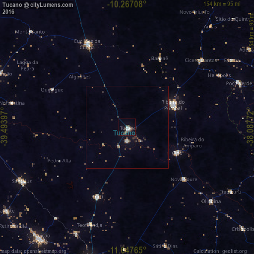
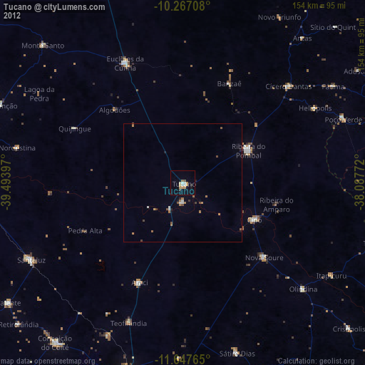
Analysis of Tucano night lights 2016
Square area 10x10 km:
 3.03%
3.03%90-99
3.03%80-89
0%70-79
0%60-69
1.3%50-59
2.6%40-49
3.25%30-39
3.46%20-29
2.38%10-19
6.71%0-9
74.24%Square area 50x50 km:
0.2%90-99
0.25%80-89
0.14%70-79
0.05%60-69
0.23%50-59
0.52%40-49
0.42%30-39
0.44%20-29
0.46%10-19
0.88%0-9
96.42%Clear (daylight) street map image can be seen on geolist.org.
Map coordinates:
10° 16' 1.5" South, 39° 29' 38.3" West
10° 57' 29.4" South, 38° 47' 27" West
11° 38' 51.5" South, 38° 5' 15.8" West
Some cities around Tucano sort by population:
• Euclides da Cunha
55.8 km =34.7 mi,  333°
333°
• Ribeira do Pombal
31.1 km =19.3 mi,  63°
63°
• Santaluz
71.8 km =44.6 mi,  242°
242°
• Cícero Dantas
59.7 km =37.1 mi,  48°
48°
• Araci
45.9 km =28.5 mi,  204°
204°
• Olindina
67.5 km =41.9 mi,  132°
132°
• Nova Soure
45.4 km =28.2 mi, 132°
• Cipó
34.1 km =21.2 mi,  117°
117°
3445983 (p: 31,203)
Sources (retrieved 2019-11-25):
» Earth at Night: Flat Maps 2012, 2016