Campos Novos night lights from space
Night Light of Campos Novos (Santa Catarina) from space (Brazil) Src. Average luminocity for 10x10km area is 23.1345% and for 50x50km: 1.6052%.
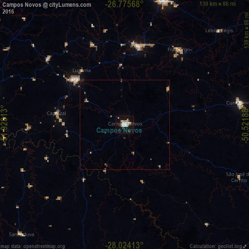
Analysis of Campos Novos night lights 2016
Square area 10x10 km:
 4.92%
4.92%90-99
3.41%80-89
6.06%70-79
1.52%60-69
1.52%50-59
1.52%40-49
0.76%30-39
1.52%20-29
1.14%10-19
20.08%0-9
57.58%Square area 50x50 km:
0.2%90-99
0.14%80-89
0.36%70-79
0.2%60-69
0.15%50-59
0.2%40-49
0.12%30-39
0.29%20-29
0.1%10-19
1.05%0-9
97.18%Clear (daylight) street map image can be seen on geolist.org.
Map coordinates:
26° 46' 32.4" South, 51° 55' 41.3" West
27° 24' 6" South, 51° 13' 30" West
28° 1' 26.9" South, 50° 31' 18.8" West
Some cities around Campos Novos sort by population:
• Caçador
72.7 km =45.2 mi,  16°
16°
• Concórdia
81.5 km =50.6 mi,  283°
283°
• Videira
44.3 km =27.5 mi,  9°
9°
• Curitibanos
64.6 km =40.1 mi,  78°
78°
• Estrela
78.6 km =48.8 mi,  158°
158°
• Capinzal
38.7 km =24 mi, 279°
• Joaçaba
37.2 km =23.1 mi,  311°
311°
• Celso Ramos
28.1 km =17.5 mi,  202°
202°
3467677 (p: 22,563)
Sources (retrieved 2019-11-25):
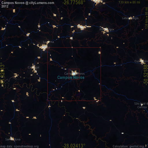
» Earth at Night: Flat Maps 2012, 2016