Itaporanga night lights from space
Night Light of Itaporanga (Paraíba) from space (Brazil) Src. Average luminocity for 10x10km area is 12.4524% and for 50x50km: 2.0567%.
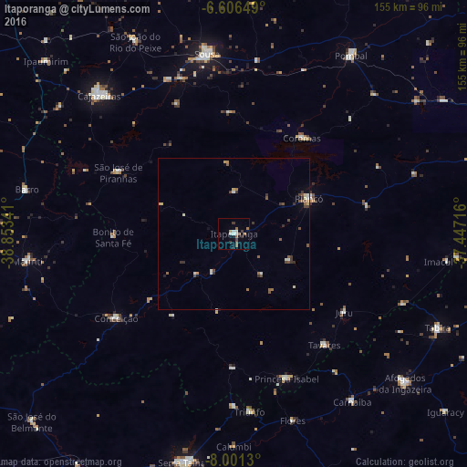
Analysis of Itaporanga night lights 2016
Square area 10x10 km:
 1.52%
1.52%90-99
2.81%80-89
0%70-79
0.65%60-69
3.25%50-59
2.16%40-49
1.52%30-39
3.03%20-29
0.87%10-19
0.65%0-9
83.55%Square area 50x50 km:
0.14%90-99
0.35%80-89
0.18%70-79
0.12%60-69
0.32%50-59
0.52%40-49
0.42%30-39
0.58%20-29
0.18%10-19
0.15%0-9
97.04%Clear (daylight) street map image can be seen on geolist.org.
Map coordinates:
6° 36' 23.4" South, 38° 51' 12.3" West
7° 18' 16" South, 38° 9' 1" West
8° 0' 4.7" South, 37° 26' 49.8" West
Some cities around Itaporanga sort by population:
• Sousa
61.2 km =38 mi,  351°
351°
• Cajazeiras
64.2 km =39.9 mi,  315°
315°
• Princesa Isabel
51.1 km =31.8 mi,  160°
160°
• Coremas
39.4 km =24.5 mi,  34°
34°
• Flores
65.6 km =40.8 mi, 162°
• Piancó
27.1 km =16.8 mi,  64°
64°
• Juàzeirinho
55.4 km =34.4 mi,  11°
11°
• São José de Piranhas
43.8 km =27.2 mi,  297°
297°
3397898 (p: 15,890)
Sources (retrieved 2019-11-25):
» Earth at Night: Flat Maps 2012, 2016