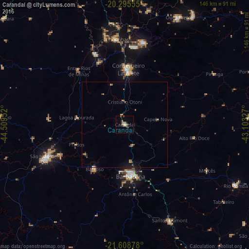
Carandaí night lights from space
Night Light of Carandaí (Minas Gerais) from space (Brazil) Src. Average luminocity for 10x10km area is 10.9722% and for 50x50km: 1.6197%.
Analysis of Carandaí night lights 2016
Square area 10x10 km:
 0.99%
0.99%90-99
0.6%80-89
0.79%70-79
1.98%60-69
4.37%50-59
0.79%40-49
1.39%30-39
1.98%20-29
0.6%10-19
0.99%0-9
85.52%Square area 50x50 km:
0.05%90-99
0.03%80-89
0.15%70-79
0.37%60-69
0.42%50-59
0.25%40-49
0.2%30-39
0.26%20-29
0.18%10-19
0.95%0-9
97.14%Clear (daylight) street map image can be seen on geolist.org.
Map coordinates:
20° 17' 44" South, 44° 30' 34.3" West
20° 57' 13" South, 43° 48' 23" West
21° 36' 31.6" South, 43° 6' 11.8" West
Some cities around Carandaí sort by population:
• Barbacena
30.5 km =19 mi,  173°
173°
• Conselheiro Lafaiete
32.7 km =20.3 mi,  3°
3°
• São João del Rei
51.4 km =31.9 mi,  246°
246°
• Ouro Preto
69.6 km =43.2 mi,  26°
26°
• Congonhas
50.1 km =31.1 mi,  353°
353°
• Santos Dumont
61.8 km =38.4 mi,  154°
154°
• Ouro Branco
49.2 km =30.6 mi,  13°
13°
• Barroso
31.3 km =19.4 mi,  214°
214°
3467026 (p: 16,657)
Sources (retrieved 2019-11-25):
» Earth at Night: Flat Maps 2012, 2016