Coelho Neto night lights from space
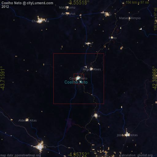
Night Light of Coelho Neto (Maranhão) from space (Brazil) Src. Average luminocity for 10x10km area is 18.2078% and for 50x50km: 1.3651%.
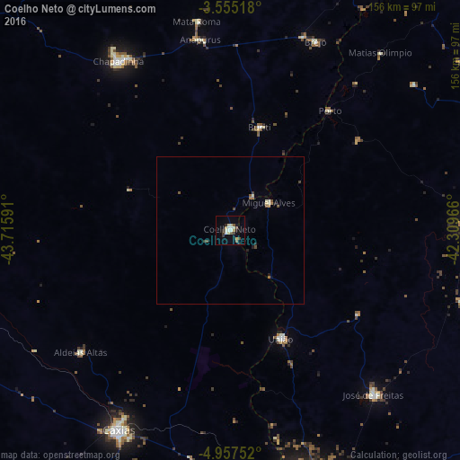
Analysis of Coelho Neto night lights 2016
Square area 10x10 km:
 3.25%
3.25%90-99
3.9%80-89
2.16%70-79
1.95%60-69
0%50-59
2.6%40-49
1.73%30-39
3.03%20-29
2.38%10-19
3.25%0-9
75.76%Square area 50x50 km:
0.13%90-99
0.24%80-89
0.17%70-79
0.11%60-69
0.14%50-59
0.25%40-49
0.21%30-39
0.21%20-29
0.2%10-19
0.2%0-9
98.15%Clear (daylight) street map image can be seen on geolist.org.
Map coordinates:
3° 33' 18.6" South, 43° 42' 57.3" West
4° 15' 24" South, 43° 0' 46" West
4° 57' 27.1" South, 42° 18' 34.8" West
Some cities around Coelho Neto sort by population:
• Caxias
77 km =47.8 mi,  209°
209°
• Chapadinha
69 km =42.9 mi,  326°
326°
• Barras
79.7 km =49.5 mi,  89°
89°
• José de Freitas
73.7 km =45.8 mi,  138°
138°
• União
40.1 km =24.9 mi,  155°
155°
• Brejo
70 km =43.5 mi,  24°
24°
• Miguel Alves
16.5 km =10.3 mi,  52°
52°
• Porto
52.5 km =32.6 mi,  39°
39°
3401992 (p: 36,184)
Sources (retrieved 2019-11-25):
» Earth at Night: Flat Maps 2012, 2016