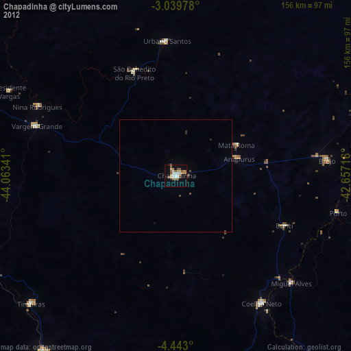
Chapadinha night lights from space
Night Light of Chapadinha (Maranhão) from space (Brazil) Src. Average luminocity for 10x10km area is 40.474% and for 50x50km: 2.3779%.
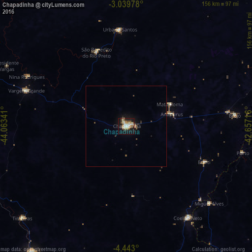
Analysis of Chapadinha night lights 2016
Square area 10x10 km:
 3.9%
3.9%90-99
11.47%80-89
8.66%70-79
2.81%60-69
3.46%50-59
7.14%40-49
2.38%30-39
4.11%20-29
7.36%10-19
38.96%0-9
9.74%Square area 50x50 km:
0.16%90-99
0.48%80-89
0.36%70-79
0.14%60-69
0.15%50-59
0.5%40-49
0.21%30-39
0.32%20-29
0.54%10-19
2.36%0-9
94.79%Clear (daylight) street map image can be seen on geolist.org.
Map coordinates:
3° 2' 23.2" South, 44° 3' 48.3" West
3° 44' 30" South, 43° 21' 37" West
4° 26' 34.8" South, 42° 39' 25.8" West
Some cities around Chapadinha sort by population:
• Coelho Neto
69 km =42.9 mi,  146°
146°
• Vargem Grande
65.5 km =40.7 mi,  289°
289°
• Santa Rita
57.1 km =35.5 mi,  256°
256°
• Urbano Santos
59.6 km =37 mi,  355°
355°
• São Benedito do Rio Preto
49.1 km =30.5 mi,  337°
337°
• Brejo
68 km =42.3 mi,  84°
84°
• Miguel Alves
69.9 km =43.4 mi,  132°
132°
• Porto
74.1 km =46 mi,  103°
103°
3402229 (p: 40,804)
Sources (retrieved 2019-11-25):
» Earth at Night: Flat Maps 2012, 2016