Caxias night lights from space
Night Light of Caxias (Maranhão) from space (Brazil) Src. Average luminocity for 10x10km area is 57.1674% and for 50x50km: 3.931%.
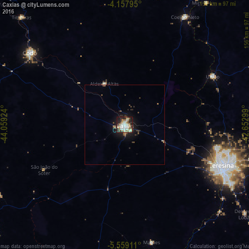

Analysis of Caxias night lights 2016
Square area 10x10 km:
 10.33%
90-99
20.87%80-89
5.79%70-79
4.13%60-69
7.02%50-59
7.64%40-49
3.72%30-39
5.79%20-29
18.39%10-19
15.5%0-9
0.83%Square area 50x50 km:
0.43%90-99
0.91%80-89
0.27%70-79
0.35%60-69
0.41%50-59
0.57%40-49
0.5%30-39
0.59%20-29
1.4%10-19
3.2%0-9
91.38%Clear (daylight) street map image can be seen on geolist.org.
Map coordinates:
4° 9' 28.6" South, 44° 3' 33.3" West
4° 51' 32" South, 43° 21' 22" West
5° 33' 32.8" South, 42° 39' 10.8" West
Some cities around Caxias sort by population:
• Teresina
66.5 km =41.3 mi,  112°
112°
• Timon
63.2 km =39.3 mi, 114°
• Codó
73.9 km =45.9 mi,  307°
307°
• Coelho Neto
77 km =47.8 mi,  29°
29°
• José de Freitas
87.2 km =54.2 mi,  82°
82°
• Timbiras
93.3 km =58 mi,  316°
316°
• União
62.4 km =38.8 mi,  60°
60°
• Miguel Alves
92.5 km =57.5 mi, 33°
3402383 (p: 148,072)
Sources (retrieved 2019-11-25):
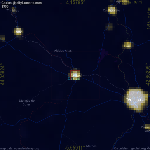
» NASA, Earths city lights 1995
» NASA city lights 2003
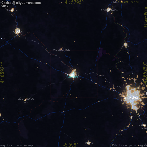
» Earth at Night: Flat Maps 2012, 2016