Porto night lights from space
Night Light of Porto (Piauí) from space (Brazil) Src. Average luminocity for 10x10km area is 4.0368% and for 50x50km: 1.4411%.
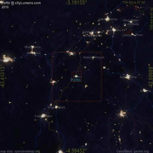
Analysis of Porto night lights 2016
Square area 10x10 km:
 0%
0%90-99
0.87%80-89
0.87%70-79
0%60-69
0.43%50-59
2.16%40-49
0%30-39
0%20-29
1.73%10-19
0.22%0-9
93.72%Square area 50x50 km:
0.02%90-99
0.26%80-89
0.17%70-79
0.11%60-69
0.22%50-59
0.51%40-49
0.24%30-39
0.23%20-29
0.42%10-19
0.23%0-9
97.6%Clear (daylight) street map image can be seen on geolist.org.
Map coordinates:
3° 11' 29.6" South, 43° 24' 47.3" West
3° 53' 36" South, 42° 42' 36" West
4° 35' 40.3" South, 42° 0' 24.8" West
Some cities around Porto sort by population:
• Coelho Neto
52.5 km =32.6 mi,  219°
219°
• Barras
60.4 km =37.5 mi,  130°
130°
• Esperantina
52.9 km =32.9 mi,  91°
91°
• Santa Quitéria do Maranhão
45.7 km =28.4 mi,  23°
23°
• Luzilândia
61.4 km =38.2 mi,  37°
37°
• Brejo
23.7 km =14.7 mi,  349°
349°
• São Bernardo
67.5 km =41.9 mi,  28°
28°
• Miguel Alves
36.6 km =22.7 mi,  214°
214°
3391408 (p: 6,535)
Sources (retrieved 2019-11-25):
» Earth at Night: Flat Maps 2012, 2016