Barras night lights from space
Night Light of Barras (Piauí) from space (Brazil) Src. Average luminocity for 10x10km area is 25.0498% and for 50x50km: 1.7781%.
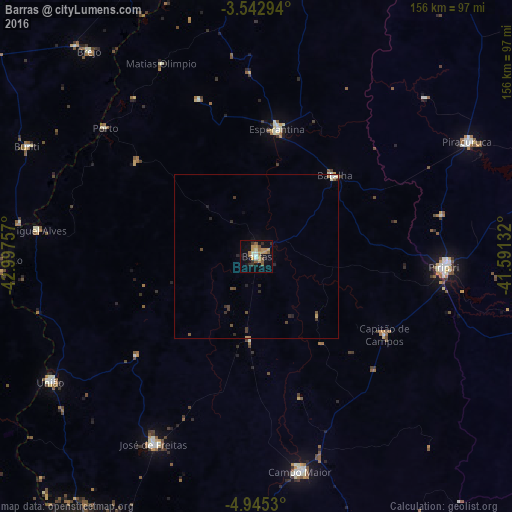
Analysis of Barras night lights 2016
Square area 10x10 km:
 0.87%
0.87%90-99
3.68%80-89
1.73%70-79
8.01%60-69
4.11%50-59
6.06%40-49
0.65%30-39
3.46%20-29
2.6%10-19
16.67%0-9
52.16%Square area 50x50 km:
0.09%90-99
0.21%80-89
0.11%70-79
0.38%60-69
0.23%50-59
0.37%40-49
0.26%30-39
0.32%20-29
0.5%10-19
0.71%0-9
96.81%Clear (daylight) street map image can be seen on geolist.org.
Map coordinates:
3° 32' 34.6" South, 42° 59' 51.3" West
4° 14' 40" South, 42° 17' 40" West
4° 56' 43.1" South, 41° 35' 28.8" West
Some cities around Barras sort by population:
• Piripiri
57.5 km =35.7 mi,  93°
93°
• Campo Maior
66.3 km =41.2 mi,  167°
167°
• José de Freitas
64.9 km =40.3 mi,  208°
208°
• Esperantina
38.7 km =24 mi,  10°
10°
• União
73.7 km =45.8 mi,  238°
238°
• Miguel Alves
67.2 km =41.8 mi,  277°
277°
• Batalha
34.5 km =21.4 mi,  44°
44°
• Porto
60.4 km =37.5 mi,  310°
310°
3406263 (p: 21,597)
Sources (retrieved 2019-11-25):
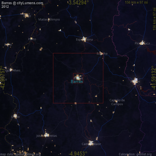
» Earth at Night: Flat Maps 2012, 2016