Brejo night lights from space
Night Light of Brejo (Maranhão) from space (Brazil) Src. Average luminocity for 10x10km area is 13.3745% and for 50x50km: 1.9566%.
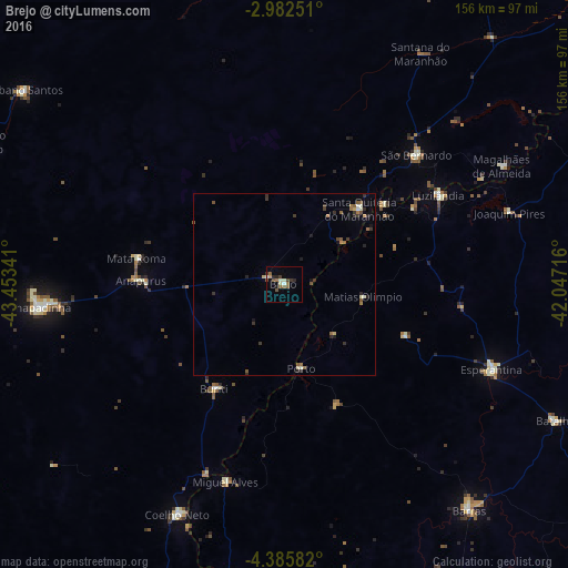
Analysis of Brejo night lights 2016
Square area 10x10 km:
 0.43%
0.43%90-99
3.25%80-89
0.65%70-79
0.87%60-69
1.73%50-59
3.68%40-49
3.25%30-39
2.38%20-29
2.81%10-19
0.87%0-9
80.09%Square area 50x50 km:
0.07%90-99
0.3%80-89
0.13%70-79
0.13%60-69
0.35%50-59
0.56%40-49
0.24%30-39
0.55%20-29
0.56%10-19
0.29%0-9
96.81%Clear (daylight) street map image can be seen on geolist.org.
Map coordinates:
2° 58' 57" South, 43° 27' 12.3" West
3° 41' 4" South, 42° 45' 1" West
4° 23' 9" South, 42° 2' 49.8" West
Some cities around Brejo sort by population:
• Chapadinha
68 km =42.3 mi,  264°
264°
• Coelho Neto
70 km =43.5 mi,  204°
204°
• Esperantina
62.2 km =38.6 mi,  112°
112°
• Santa Quitéria do Maranhão
29.4 km =18.3 mi,  50°
50°
• Luzilândia
49.1 km =30.5 mi,  59°
59°
• São Bernardo
51.5 km =32 mi, 45°
• Miguel Alves
55.9 km =34.7 mi, 196°
• Porto
23.7 km =14.7 mi,  169°
169°
3404889 (p: 11,636)
Sources (retrieved 2019-11-25):
» Earth at Night: Flat Maps 2012, 2016