Pedro II night lights from space
Night Light of Pedro II (Piauí) from space (Brazil) Src. Average luminocity for 10x10km area is 18.7769% and for 50x50km: 1.1427%.
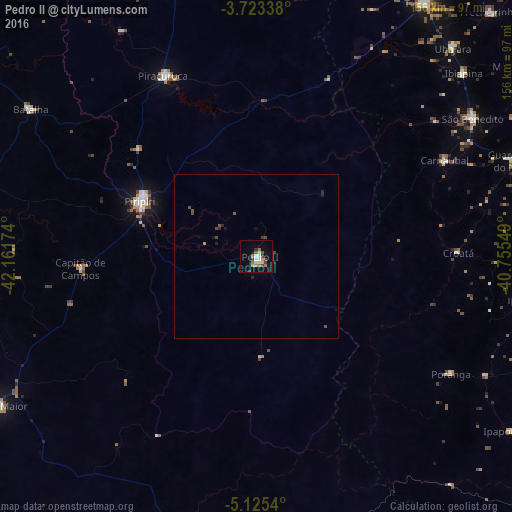
Analysis of Pedro II night lights 2016
Square area 10x10 km:
 1.03%
1.03%90-99
4.55%80-89
2.07%70-79
1.45%60-69
3.93%50-59
1.45%40-49
3.72%30-39
3.51%20-29
0.62%10-19
4.96%0-9
72.73%Square area 50x50 km:
0.04%90-99
0.19%80-89
0.09%70-79
0.09%60-69
0.16%50-59
0.16%40-49
0.36%30-39
0.21%20-29
0.21%10-19
0.4%0-9
98.08%Clear (daylight) street map image can be seen on geolist.org.
Map coordinates:
3° 43' 24.2" South, 42° 9' 42.3" West
4° 25' 29" South, 41° 27' 31" West
5° 7' 31.4" South, 40° 45' 19.8" West
Some cities around Pedro II sort by population:
• Piripiri
39.1 km =24.3 mi,  295°
295°
• Campo Maior
90.6 km =56.3 mi,  240°
240°
• Ipu
83.7 km =52 mi,  82°
82°
• Piracuruca
61.8 km =38.4 mi,  333°
333°
• Guaraciaba do Norte
83.9 km =52.1 mi,  70°
70°
• Ubajara
87 km =54.1 mi,  43°
43°
• Ibiapina
84.2 km =52.3 mi,  48°
48°
• Batalha
81.5 km =50.6 mi, 303°
3392431 (p: 22,038)
Sources (retrieved 2019-11-25):
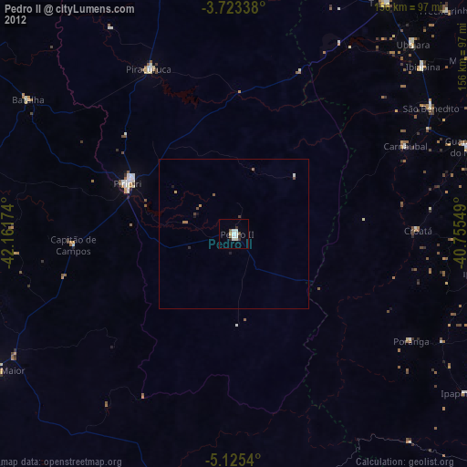
» Earth at Night: Flat Maps 2012, 2016