Campo Maior night lights from space
Night Light of Campo Maior (Piauí) from space (Brazil) Src. Average luminocity for 10x10km area is 26.4339% and for 50x50km: 1.4831%.
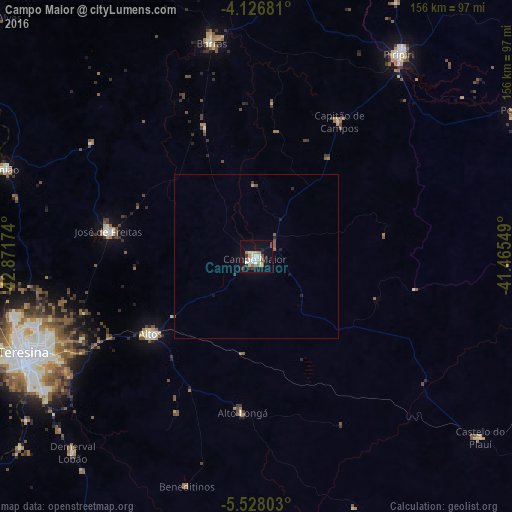
Analysis of Campo Maior night lights 2016
Square area 10x10 km:
 3.51%
3.51%90-99
6.82%80-89
2.07%70-79
2.69%60-69
3.1%50-59
3.31%40-49
2.48%30-39
3.1%20-29
2.89%10-19
26.24%0-9
43.8%Square area 50x50 km:
0.15%90-99
0.28%80-89
0.12%70-79
0.11%60-69
0.15%50-59
0.28%40-49
0.18%30-39
0.14%20-29
0.31%10-19
1.17%0-9
97.1%Clear (daylight) street map image can be seen on geolist.org.
Map coordinates:
4° 7' 36.5" South, 42° 52' 18.3" West
4° 49' 40" South, 42° 10' 7" West
5° 31' 40.9" South, 41° 27' 55.8" West
Some cities around Campo Maior sort by population:
• Teresina
75.9 km =47.2 mi,  247°
247°
• Timon
79.7 km =49.5 mi, 248°
• Piripiri
75.4 km =46.9 mi,  35°
35°
• Altos
39.9 km =24.8 mi,  234°
234°
• Barras
66.3 km =41.2 mi,  347°
347°
• José de Freitas
45.8 km =28.5 mi,  279°
279°
• Demerval Lobão
81.5 km =50.6 mi,  223°
223°
• Beneditinos
72.6 km =45.1 mi,  197°
197°
3403566 (p: 31,739)
Sources (retrieved 2019-11-25):
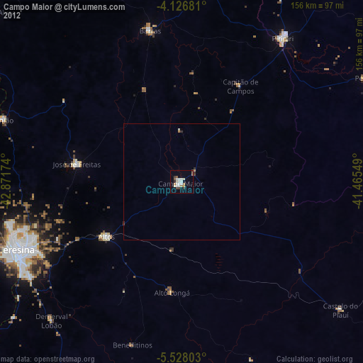
» Earth at Night: Flat Maps 2012, 2016