Caruaru night lights from space
Night Light of Caruaru (Pernambuco) from space (Brazil) Src. Average luminocity for 10x10km area is 74.1694% and for 50x50km: 8.6843%.
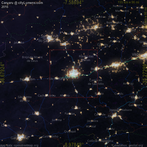
Analysis of Caruaru night lights 2016
Square area 10x10 km:
 22.73%
90-99
28.93%80-89
2.27%70-79
4.75%60-69
9.71%50-59
9.3%40-49
4.96%30-39
2.89%20-29
13.43%10-19
1.03%0-9
0%Square area 50x50 km:
0.99%90-99
1.79%80-89
0.52%70-79
0.7%60-69
1.52%50-59
1.26%40-49
1.29%30-39
1.33%20-29
2.42%10-19
4.8%0-9
83.38%Clear (daylight) street map image can be seen on geolist.org.
Map coordinates:
7° 35' 13" South, 36° 40' 45.3" West
8° 16' 60" South, 35° 58' 34" West
8° 58' 42.6" South, 35° 16' 22.8" West
Some cities around Caruaru sort by population:
• Bezerros
20.5 km =12.7 mi,  74°
74°
• Toritama
32 km =19.9 mi,  343°
343°
• Agrestina
19.7 km =12.2 mi,  169°
169°
• São Joaquim do Monte
25.1 km =15.6 mi,  131°
131°
• Cachoeirinha
36.2 km =22.5 mi,  231°
231°
• Altinho
24.7 km =15.3 mi,  201°
201°
• Camocim de São Félix
25 km =15.5 mi,  109°
109°
• Bonito
34.3 km =21.3 mi, 127°
3402655 (p: 235,371)
Sources (retrieved 2019-11-25):
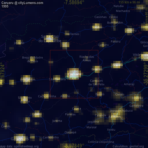
» NASA, Earths city lights 1995
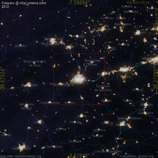
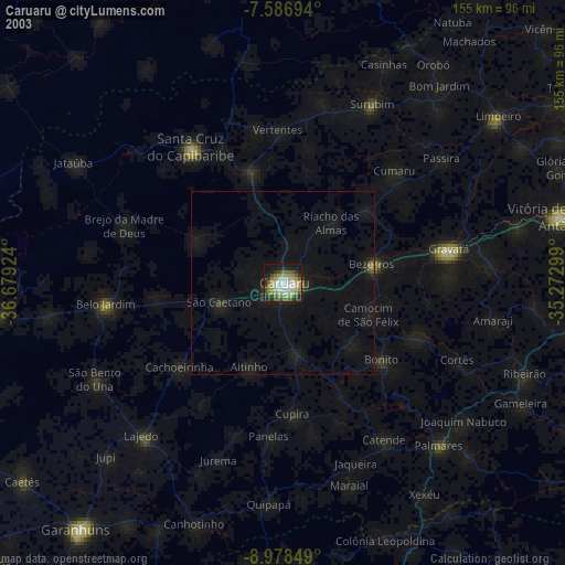
» NASA city lights 2003
» Earth at Night: Flat Maps 2012, 2016