Bezerros night lights from space
Night Light of Bezerros (Pernambuco) from space (Brazil) Src. Average luminocity for 10x10km area is 11.7045% and for 50x50km: 10.4652%.
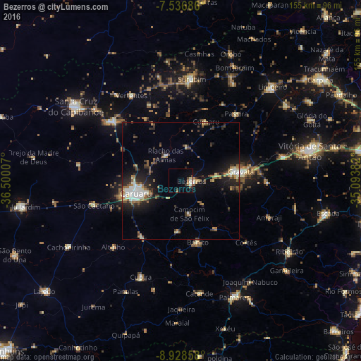
Analysis of Bezerros night lights 2016
Square area 10x10 km:
 1.03%
1.03%90-99
2.07%80-89
1.86%70-79
0.83%60-69
2.48%50-59
0.83%40-49
1.86%30-39
1.45%20-29
0%10-19
4.34%0-9
83.26%Square area 50x50 km:
1.14%90-99
1.98%80-89
0.88%70-79
0.93%60-69
1.68%50-59
1.36%40-49
1.46%30-39
1.71%20-29
3.28%10-19
6.05%0-9
79.52%Clear (daylight) street map image can be seen on geolist.org.
Map coordinates:
7° 32' 12.7" South, 36° 30' 0.3" West
8° 13' 60" South, 35° 47' 49" West
8° 55' 42.9" South, 35° 5' 37.8" West
Some cities around Bezerros sort by population:
• Caruaru
20.5 km =12.7 mi,  254°
254°
• Gravatá
25.8 km =16 mi,  82°
82°
• Agrestina
29.8 km =18.5 mi,  213°
213°
• São Joaquim do Monte
22.2 km =13.8 mi,  182°
182°
• Camocim de São Félix
14.5 km =9 mi,  164°
164°
• Guabiraba
24.9 km =15.5 mi,  144°
144°
• Bonito
27.4 km =17 mi, 164°
• Cumaru
27.5 km =17.1 mi,  23°
23°
3405738 (p: 51,436)
Sources (retrieved 2019-11-25):
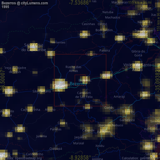
» NASA, Earths city lights 1995
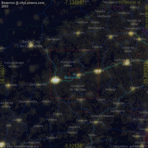
» NASA city lights 2003
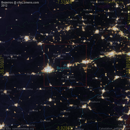
» Earth at Night: Flat Maps 2012, 2016