Toritama night lights from space
Night Light of Toritama (Pernambuco) from space (Brazil) Src. Average luminocity for 10x10km area is 29.2603% and for 50x50km: 8.9886%.
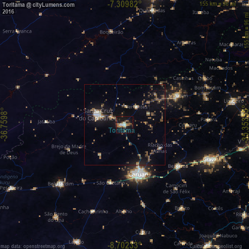
Analysis of Toritama night lights 2016
Square area 10x10 km:
 2.07%
2.07%90-99
5.37%80-89
2.07%70-79
3.72%60-69
6.61%50-59
5.79%40-49
2.27%30-39
3.1%20-29
5.99%10-19
38.43%0-9
24.59%Square area 50x50 km:
0.44%90-99
0.95%80-89
0.49%70-79
0.6%60-69
1.58%50-59
2.16%40-49
1.43%30-39
1.84%20-29
2.26%10-19
8.17%0-9
80.07%Clear (daylight) street map image can be seen on geolist.org.
Map coordinates:
7° 18' 35.4" South, 36° 45' 35.3" West
8° 0' 24" South, 36° 3' 24" West
8° 42' 8.4" South, 35° 21' 12.8" West
Some cities around Toritama sort by population:
• Caruaru
32 km =19.9 mi,  163°
163°
• Santa Cruz do Capibaribe
17.2 km =10.7 mi,  288°
288°
• Bezerros
38.1 km =23.7 mi,  131°
131°
• Surubim
38.5 km =23.9 mi,  59°
59°
• Brejo da Madre de Deus
37.9 km =23.5 mi,  245°
245°
• Taquaritinga do Norte
11.6 km =7.2 mi,  6°
6°
• Camocim de São Félix
50.8 km =31.6 mi,  140°
140°
• Cumaru
39.6 km =24.6 mi,  89°
89°
3386264 (p: 23,940)
Sources (retrieved 2019-11-25):
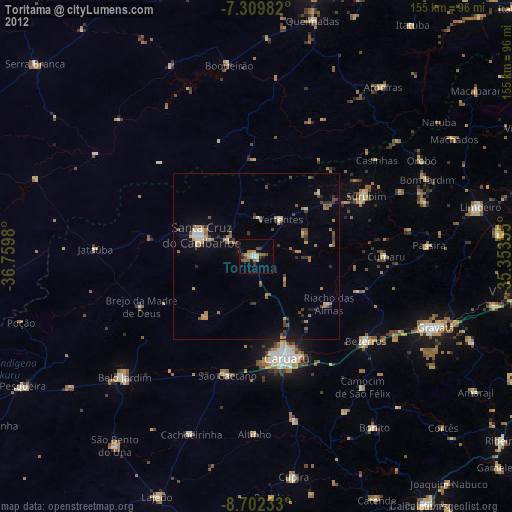
» Earth at Night: Flat Maps 2012, 2016