Barbacena night lights from space
Night Light of Barbacena (Minas Gerais) from space (Brazil) Src. Average luminocity for 10x10km area is 50.3333% and for 50x50km: 4.1675%.
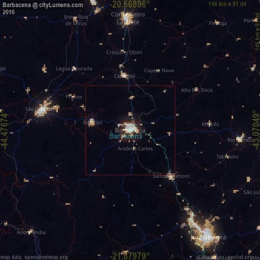
Analysis of Barbacena night lights 2016
Square area 10x10 km:
 10.12%
90-99
10.91%80-89
4.17%70-79
3.77%60-69
14.88%50-59
3.37%40-49
5.56%30-39
6.75%20-29
14.68%10-19
25%0-9
0.79%Square area 50x50 km:
0.46%90-99
0.51%80-89
0.33%70-79
0.6%60-69
0.97%50-59
0.48%40-49
0.49%30-39
0.51%20-29
0.95%10-19
3.19%0-9
91.51%Clear (daylight) street map image can be seen on geolist.org.
Map coordinates:
20° 34' 8.3" South, 44° 28' 36.3" West
21° 13' 33" South, 43° 46' 25" West
21° 52' 47.2" South, 43° 4' 13.8" West
Some cities around Barbacena sort by population:
• Conselheiro Lafaiete
62.9 km =39.1 mi,  358°
358°
• São João del Rei
51.6 km =32.1 mi,  281°
281°
• Santos Dumont
34.4 km =21.4 mi,  138°
138°
• Barroso
21.4 km =13.3 mi, 281°
• Carandaí
30.5 km =19 mi,  353°
353°
• Rio Pomba
61.8 km =38.4 mi,  95°
95°
• Lima Duarte
68.6 km =42.6 mi,  181°
181°
• Rio Novo
72.7 km =45.2 mi,  112°
112°
3470858 (p: 122,211)
Sources (retrieved 2019-11-25):
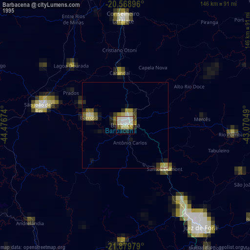
» NASA, Earths city lights 1995
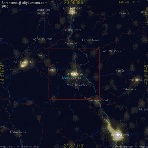
» NASA city lights 2003
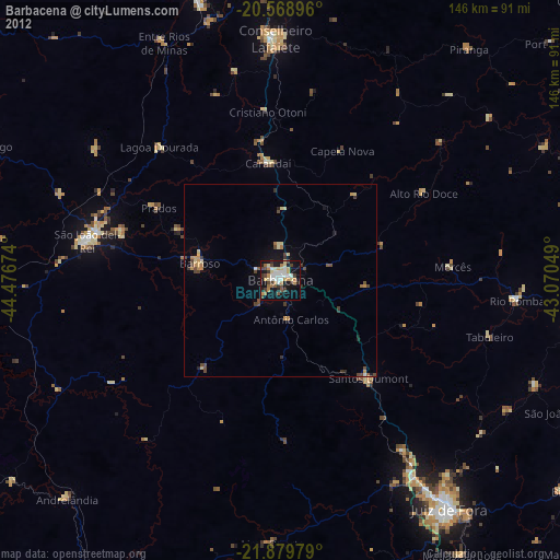
» Earth at Night: Flat Maps 2012, 2016