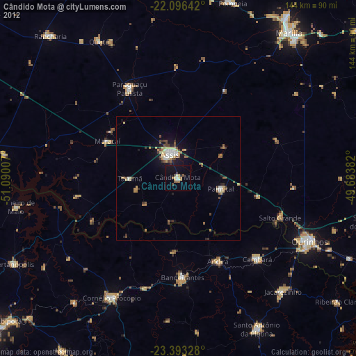
Cândido Mota night lights from space
Night Light of Cândido Mota (São Paulo) from space (Brazil) Src. Average luminocity for 10x10km area is 16.7917% and for 50x50km: 4.7136%.
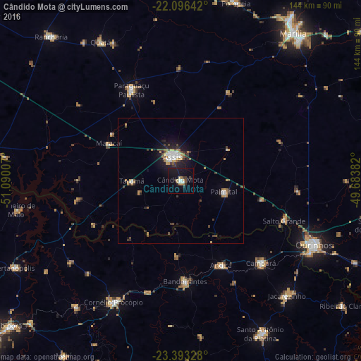
Analysis of Cândido Mota night lights 2016
Square area 10x10 km:
 2.18%
2.18%90-99
1.79%80-89
1.59%70-79
2.38%60-69
2.38%50-59
0.6%40-49
0.99%30-39
2.98%20-29
1.79%10-19
24.01%0-9
59.33%Square area 50x50 km:
0.63%90-99
0.63%80-89
0.22%70-79
0.98%60-69
0.58%50-59
0.26%40-49
0.74%30-39
0.82%20-29
1.03%10-19
3.49%0-9
90.61%Clear (daylight) street map image can be seen on geolist.org.
Map coordinates:
22° 5' 47.1" South, 51° 5' 24.3" West
22° 44' 47" South, 50° 23' 13" West
23° 23' 35.8" South, 49° 41' 1.8" West
Some cities around Cândido Mota sort by population:
• Assis
9.8 km =6.1 mi,  344°
344°
• Cornélio Procópio
55.2 km =34.3 mi,  208°
208°
• Paraguaçu Paulista
41.9 km =26 mi,  332°
332°
• Bandeirantes
40.5 km =25.2 mi,  177°
177°
• Cambará
46.3 km =28.8 mi,  136°
136°
• Palmital
18 km =11.2 mi,  105°
105°
• Maracaí
32.5 km =20.2 mi,  297°
297°
• Tarumã
19.5 km =12.1 mi,  269°
269°
3467542 (p: 28,144)
Sources (retrieved 2019-11-25):
» Earth at Night: Flat Maps 2012, 2016