Bandeirantes night lights from space
Night Light of Bandeirantes (Paraná) from space (Brazil) Src. Average luminocity for 10x10km area is 16.464% and for 50x50km: 2.3088%.
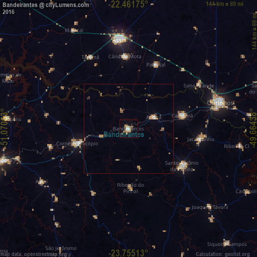
Analysis of Bandeirantes night lights 2016
Square area 10x10 km:
 1.14%
1.14%90-99
1.14%80-89
2.46%70-79
4.55%60-69
3.6%50-59
1.52%40-49
1.52%30-39
1.52%20-29
2.27%10-19
1.89%0-9
78.41%Square area 50x50 km:
0.07%90-99
0.13%80-89
0.19%70-79
0.67%60-69
0.58%50-59
0.18%40-49
0.29%30-39
0.49%20-29
0.38%10-19
0.32%0-9
96.7%Clear (daylight) street map image can be seen on geolist.org.
Map coordinates:
22° 27' 42.3" South, 51° 4' 14.3" West
23° 6' 36" South, 50° 22' 3" West
23° 45' 18.5" South, 49° 39' 51.8" West
Some cities around Bandeirantes sort by population:
• Assis
50.1 km =31.1 mi,  354°
354°
• Cornélio Procópio
29.6 km =18.4 mi,  254°
254°
• Santo Antônio da Platina
36.1 km =22.4 mi,  124°
124°
• Jacarezinho
41.1 km =25.5 mi,  97°
97°
• Cândido Mota
40.5 km =25.2 mi,  357°
357°
• Cambará
30.9 km =19.2 mi,  76°
76°
• Palmital
38.9 km =24.2 mi,  23°
23°
• Tarumã
45.8 km =28.5 mi,  332°
332°
3470912 (p: 29,494)
Sources (retrieved 2019-11-25):
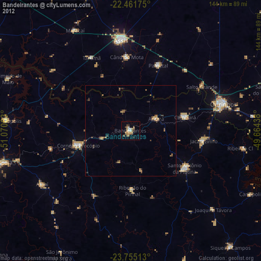
» Earth at Night: Flat Maps 2012, 2016